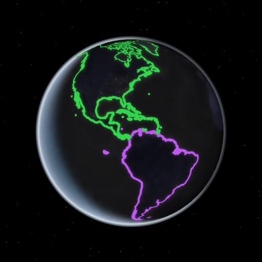
Compare geographic features by selecting them on a map or using the "GO TO" button. Move the selected shape to a new location and fix its position to visualize size and shape differences.
by Ian Clawson★ 4.58 ratingsReference$0.99Data updated 2026-09-06
View satellites in augmented reality or 3D/2D maps. Locate satellites in real time based on your position. Check nearest details. Press button to verify availability. Track positions and learn about their orbit and launch status.
Explore locations, answer questions, and test knowledge
Explore through augmented reality by placing a 3D Earth model. Answer questions about countries, locations, and features in 8 game modes. Test knowledge across 3 difficulty levels. Name and identify geographical elements.
Browse detailed articles and HD images of , including species like Abaco Island boa and Zebra spitting cobra. Organize content by categories. Search for specific snake species. View comprehensive facts and characteristics.
Create clouds with customizable shapes and fonts. Add text and adjust layouts. Export in 4K resolution. Support iPadOS trackpad and mouse. Remove small words and adjust margins. Include new outline and shape text tools.
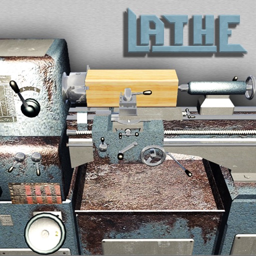
Create and shape custom forms from various materials using realistic 3D simulations. Adjust spindle speed, select tools, and perform milling and turning operations. Save and export designs. Learn machining techniques through interactive tutorials.
Access real-time maritime threat data including geographic locations and descriptions of hostile acts against ships. Search, view, and query incident reports to identify piracy, robbery, hijacking, and kidnapping events.
Teaches basic shapes, colors, and sizes through interactive games. Children arrange objects by attributes, solve logic-based puzzles, and create geometric figures. Features include sorting tasks, matching activities, and progress tracking.
Identify , shrubs, and vines with photographs, range maps, bloom periods, and detailed descriptions. Search by scientific name or common name. View curated data from botanists for accurate information.
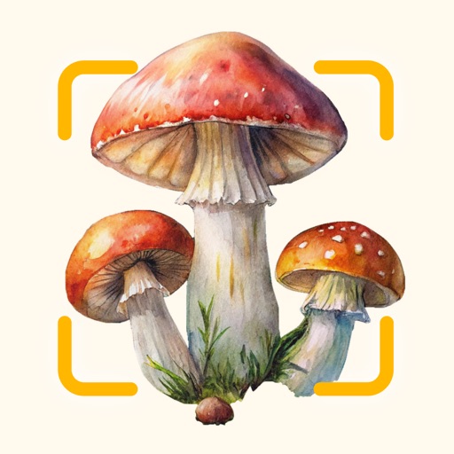
Identify wild mushrooms by snapping photos and using image recognition. Filter results by color, shape, habitat, and other traits. Learn about species with detailed descriptions and key characteristics.
Play interactive games with animated vegetables to teach sorting, matching, and basic logic. Choose difficulty based on child’s age. Includes mini-games like washing and chopping vegetables. Regularly updates with new gameplay.
Learn through interactive map games and multiple choice quizzes. Identify countries, U.S. states, flags, and capitals by tapping map regions or answering questions. Challenge friends or practice alone.