Apps Like Altimeter & Barometer Pro for iPhone and iPad
Record barometric pressure and altitude
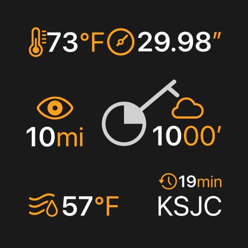
Tracks barometric pressure and altitude using device sensors. Records data continuously in the background. Displays interactive graphs for pressure trends over time. Supports auto-updating widgets for real-time weather insights.
by Bog Bridges LLC★ 4.6426 ratingsWeatherFreeData updated 2026-09-06
Display current, maximum, and minimum altitude using GPS. Switch between meters, feet, and yards. Adjust scale increments of 10, 100, 1000, or 10000. Track altitude changes during hiking or travel.
Track routes, find waypoints, and navigate offline
Navigate outdoors with offline GPS maps and real-time augmented reality. Track waypoints and custom locations. Use a gyrocompass, speedometer, altimeter, and inclinometer. Find celestial bodies and measure angles.
Customize dashboards with configurable gauges like speedometer, odometer, GPS altimeter, barometric altimeter, accelerometer, artificial horizon, compass, and elapsed time. Swipe to switch views and access real-time sensor data from iPhone or iPad.
Determine direction using a digital . Display azimuth at the top of the screen. Navigate while hiking or traveling. Indicate north, south, east, and west. Show magnetic field orientation.
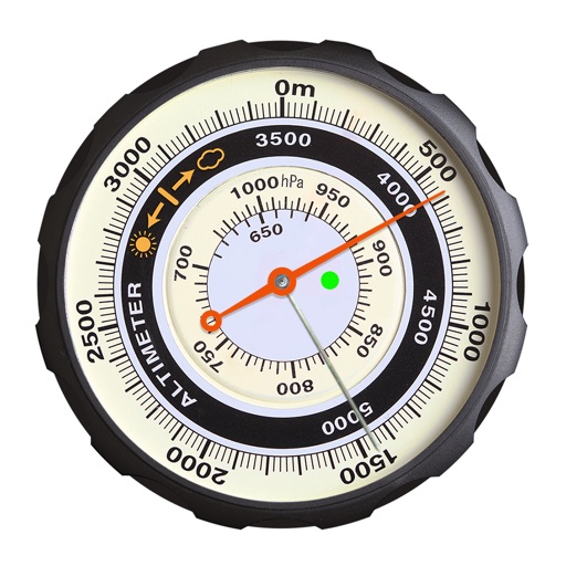
Displays altitude using a digital readout and an analog gauge. Tracks maximum height reached during use. Shows altitude accuracy and sensor quality. Utilizes GPS and barometric sensor for precise measurements.
Track location, speed, altitude, and heading using built-in GPS. Customize with widgets for quick access. View real-time movement data and adjust settings for navigation.
Track speed and distance in miles and kilometers. Monitor real-time speed and display maximum and average speeds. Check speed limits and receive warnings for speed and red light cameras. Access offline maps and view weather conditions.
Monitor , air pressure, and oxygen levels in real time using GPS and sensor data. Customize theme and background. Track environmental changes with precise measurements and dynamic updates.
Measure altitude using barometric pressure and GPS data. Display altitude in feet and meters with real-time accuracy. Calibrate sensor and switch between day and night display modes.
The app measures the elevation of locations within a 500-meter radius using device sensors and internet-based geo information. It calculates altitudes in real time and displays them in meter or feet.
Track speed, distance, altitude, and heading with real-time GPS data. Record trips with route tracking and save journeys for later. View live maps with position updates. Export trip data for analysis.
Displays altitude, coordinates, and speed with options for metric or imperial units. Shows accuracy and warns about signal issues. Offers aircraft mode with in feet. Compares current altitude with known values. No ads or data collection.
Shows elevation in meters or feet for specific map locations. Users can tap on the map to check altitude. Data is displayed clearly with units toggle. No additional features mentioned.
Explore detailed bathymetric and satellite maps of 50,000+ U.S. lakes, rivers, reservoirs, and coastal areas. Filter by species to locate optimal spots. Access real-time forecasts and expert guides for targeted strategies.