

Apps Like Snowbird Mountain Map for iPhone and iPad
Navigate trails and track your route
Navigate trails and routes with detailed topographic maps. Mark favorite locations and save custom trails. Get real-time elevation data and weather updates. Share GPS coordinates with others.
Ranked alternatives
Showing 661–680 of 1,000 ranked alternatives.


MARVLIS Client
Bradshaw Consulting Services, Inc
Track routes and receive real-time updates
View real-time maps and routes provided by the server. Access incident details including location and status. Store multiple destinations like headquarters and posts. Receive silent dispatch updates. Navigate using GPS and wireless communication.

IESM2M
Portman Electronics Ltd
Real time vehicle tracking service
The app provides real time GPS/GSM/GPRS tracking services. Users can monitor up to 10 tracking devices simultaneously using the IES GSM Tracking System.

Margaret River Offline Map and Travel Trip Guide
OFFLINE MAP TRIP GUIDE LTD
Navigate and find locations
Navigate with detailed vector maps that support zooming at any level. Find locations and points of interest. Avoid roaming charges by using the without an internet connection. Sync with OpenStreetMap for continuous updates.


Bayside Walks & Trails
Bayside City Council
Explore and coastal paths
Explore 17 km coastline and 9 hinterland by foot or bike. View points of interest and navigate routes with detailed maps. Access walking and cycling paths, historical sites, and scenic viewpoints. Share locations and track progress along .

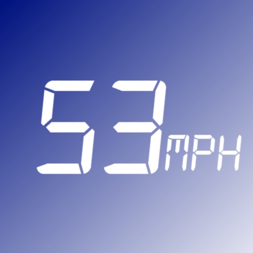
SpeedWakeup
Mohamed Rashwan
Monitors vehicle speed and alerts users.
The app monitors vehicle speed and alerts users when surpassing a set speed limit. It displays current speed in km/h or mph and changes background color based on speed.


Rotto Swim
MapImagery Pty Ltd
Track swim progress live from anywhere.
The app tracks swimmer and support crew positions during the 19.7km Rottnest Channel Swim. Friends and family can follow progress by tracking a transmitting phone.


How we rank alternatives
Apps are ranked by functional similarity, category fit, rating confidence, and popularity.