View and navigate nautical charts using S57 vector data. Plot courses, measure distances, and track positions. Display depth contours and navigational aids. Save and share route logs. Adjust chart scale and orientation.
Display a compass overlay on the map. Navigate with turn-by-turn directions. Show current speed, altitude, and heading. Indicate device orientation with a level feature.
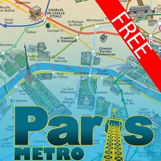
This application offers a hand-painted 3D map of Paris, showcasing famous sites and tourist attractions. Users can easily navigate the city and its metro system with practical information for attractions.