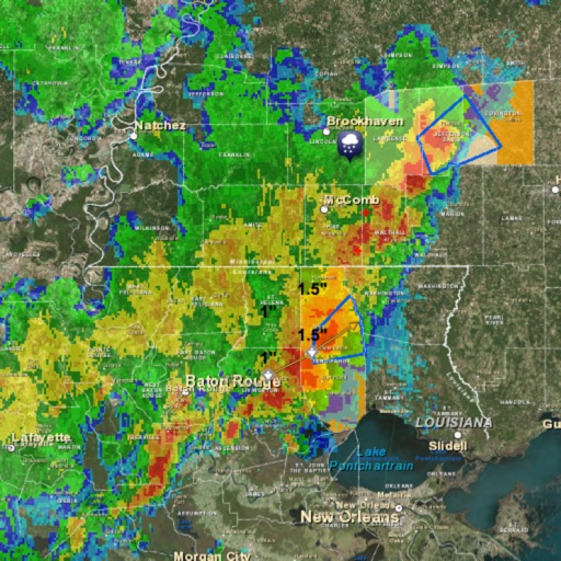
Monitor with real-time hurricane, typhoon, and tropical storm tracking. View animated satellite and radar imagery for the US. Access marine weather data and UV index. Receive alerts for tornadoes and severe thunderstorms.
Monitor current conditions with radar, satellite imagery, temperature, and surface wind data on an interactive map. Receive automated alerts for up to eight locations, including your phone's current position.
Access real-time forecasts for recreational and coastal areas. View severe weather updates and tide information. See rain radar every 7.5 minutes and 3-day rainfall forecasts with wind barbs. Check surface pressure maps.
Provide hyper-local forecasts for 350,000 European locations. Display mountain and valley conditions, , and real-time updates. Track trends and receive alerts for severe conditions. Share forecasts with others via social media or messaging.
View radar data with high-resolution images and forecasts. Track severe weather patterns and receive alerts. Access professional tools like Triple/Quad View Radar Visuals for detailed analysis.
The app provides detailed, up-to-date forecasts and location-specific alerts from the local KXLY First Alert weather team. Users can view live and future radar, satellite imagery, temperature, and wind speed maps, and check local school closures.
View current and forecasted data for any location. Access live radar updates and precipitation maps. Track temperature, wind speed, humidity, and pressure. Set location reminders and receive alerts for severe conditions.
Track real-time precipitation with a map showing or snow movement. Receive before starts. Save favorite locations for quick weather access. Get minute-by-minute forecasts and updates on weather changes.
Check current and forecasts for your city and global locations. View temperature, wind, and radar data. Receive alerts and track storms. Monitor local air quality.