Access university campus maps and building navigation. View building information and contact details. Submit problem reports. Browse university websites and resources. Find phone book entries for staff and students.
Access real-time geospatial data for locations including weather, soil, vegetation, air quality, elevation, and more. Retrieve official information from sources like NASA, USDA, and USGS. Track farming details like planting dates and irrigation.
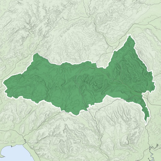
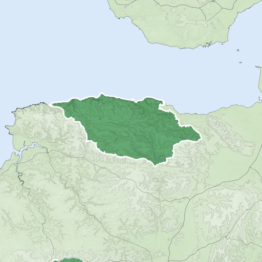
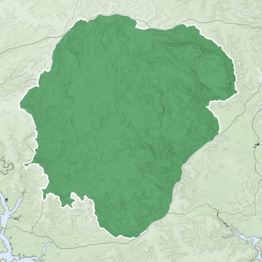
View satellite maps of Europe with overlaid Flight Information Region boundaries. Tap to identify FIRs and their identifiers. Track real-time GPS location and see current FIR boundaries.