
Coordinates Lite
Hunt Mountain Software
Convert between formats
Convert between decimal degrees, degrees and decimal minutes, and degrees-minutes-seconds. Display all three formats simultaneously. Enter in any format for instant conversion.

Showing 141–160 of 1,000 ranked alternatives.
Hunt Mountain Software
Convert between formats
Convert between decimal degrees, degrees and decimal minutes, and degrees-minutes-seconds. Display all three formats simultaneously. Enter in any format for instant conversion.


Magic Lamp Technologies Limited
Explore locations and track quests
Explore a detailed map with over 3,000 locations to find waypoints, side quests, puzzles, unique equipment, and hidden chests. Filter by 40+ categories including bosses and soul coins. Search locations by name and sync progress with the website.


Bloodydecks LLC
Plan trips, track fish activity, find optimal
Access real-time reports and high-resolution satellite imagery to plan trips. View detailed reports, track fish species, and analyze water conditions. Share insights with other anglers and save favorite spots for future trips.




Ratha Sou
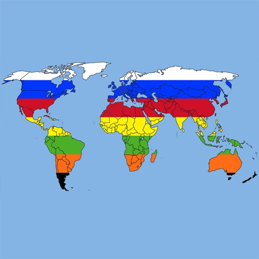
Explore world flags and countries' details.
The app provides definitions and history for national flags. It also includes official country names, capitals, locations, area, population, and national anthems.

Outdooractive AG
Find approved trails and routes
Find officially approved hiking, biking, running, and ski touring routes near you and worldwide. View detailed trail information, including difficulty, length, and elevation. Plan trips, save favorite routes, and access maps and GPS navigation.

Sichtwerk AG
Measure altitude with GPS and barometer
Calculate altitude using GPS, ASTER, or barometer (iPhone 6 and later). Display average altitude from GPS and ASTER data. Show peaks, compass, and distance grid on an integrated map. Support Apple Watch. Choose unit of measurement.

Jonathan Wukitsch
Track buses, find routes, save stops
Track bus locations using real-time GPS data. Save favorite stops for quick access to arrival times. Plan trips with step-by-step transit directions from Apple Maps. Receive arrival notifications to stay informed.

James Associates Inc.
Track routes, view , navigate outdoors
Record and view hiking tracks with detailed topographic . Navigate routes using GPS coordinates. Mark waypoints and save locations. Display elevation changes and compass direction. Sync with Apple Health for activity tracking.


Ordnance Survey
Explore trails, navigate safely, find locations
Navigate trails and routes for hiking, biking, and running. Access detailed maps of national parks and coastal paths. Find local neighborhoods and new trails. Plan routes with turn-by-turn directions. View elevation profiles and track progress.

Integrated Mapping Ltd
New Zealand topo maps for planning.
The app provides New Zealand topographical maps with detailed placenames and conservation area borders. Coordinates can be displayed in various formats, and users can navigate to waypoints with a head-up display.


Kwindoo Magyarorszag Korlatolt Felelossegu Tarsasag
Track routes and share your journey
Track routes and save photos or videos taken during trips. Share live with friends. View real-time bearing and distance to waypoints. Join regattas and see racecourses. Monitor progress and save media alongside data.
Apps are ranked by functional similarity, category fit, rating confidence, and popularity.