Track trails, navigate routes, and share locations
Access trail maps, GPS navigation, and points of interest offline. View club rules, track ride statistics, and receive emergency alerts. Share location with contacts and find nearby snowmobile clubs.
by Mapgears Inc.★ 4.611 ratingsNavigationFreeData updated 2026-09-06
Access local news articles, sports updates, and weather alerts. View in-depth stories, photos, and videos. Quickly navigate content with a fast-loading interface. Stay updated on community events and high school to professional sports coverage.
Share trail conditions and details with other . View real-time updates on grooming status and trail difficulty. Connect with local to plan routes and exchange tips. Track workout progress and receive alerts about trail changes.
Measure distance on a map with accurate earth curvature calculations. Plan routes and find shortest paths. Track distance hands-free with automatic location following. Edit paths by adjusting points or values in-.
The app offers over 40,000 mapped adventures across 21 activity types. Users can track their progress, share their location for safety, and discover new outdoor experiences.
Find and unlock rentable equipment like kayaks and bikes using QR code scanning. Track location and usage duration. Create an account to access equipment locations and manage rentals.
Log into a account to view outdoor run and cycling routes on a 3D map. Playback activities in real time with training stats displayed on a graph. Visualize workouts on an iOS device without requiring additional hardware.
Track live race data for UCI WorldTour, Pro, and Cyclocross Cup races. Manage virtual teams, set player lineups, and compete against other users. View real-time updates, team performance stats, and race standings.
Track trails with precise GPS mapping and save waypoints. Measure distances and elevation changes. Share routes and view real-time navigation updates. Sync with other devices for collaborative exploration.
Measure height using phone camera. Select takeoff point, calculates height in inches or centimeters. No equipment required. Uses physics calculations for accuracy.
Plan and navigate off-road trails with detailed maps and turn-by-turn directions. Mark favorite routes and track progress. Share data and receive real-time updates on conditions. Sync with GPS devices for accurate navigation.
The app provides access to climbing and backcountry skiing guidebooks on a mobile device. Guidebooks are available for offline use after download and offer turn-by-turn trail navigation to climbs using the device's GPS.
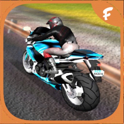
Ride motorcycles in a third-person perspective with realistic graphics and engine sounds. Tilt device to steer, touch screen to accelerate or brake. Earn coins to buy new bikes. Play in endless mode. Simple controls for easy gameplay.
View current tide heights and access for 2700+ locations. Use offline mode without internet connection. Automatically detect nearest locations. Save favorites for quick access. Plan coastal activities based on tide data.
The app provides updated metro maps and information for Beijing. It includes a route planner with detailed travel information and supports offline use in 11 languages across 53 cities.
View groomed and closed runs with a clear trail map. Share real-time location with friends and track their positions. Record runs, log vertical feet and distance, and sync with Apple Health for workout data. Display and replay recorded tracks.
Log running times, track conditions, and record event details. Select from pre-loaded tracks or add custom ones. Choose ¼ mile or ⅛ mile and input timeslip data. Save events for future runs. View ET predictions and configure car settings.
Access real-time location data and digital maps of tourist sites. View official paper maps alongside digital navigation. Search for points of interest and get directions. Bookmark locations and share maps with others.