View and navigate topographic maps offline with full resolution. Import Geospatial PDFs and align maps accurately. Rotate maps and reference them over Apple Maps. Track location and zoom in for detailed terrain features.
Study the with multi-language versions including KJV, RVR, LUT, LSG, ARC, and CUV. Access in-depth interpretations for each verse. Listen to readings. Receive daily verses for reflection. Connect with pastors for guidance.
Practice writing by tracing letters and words. uppercase and lowercase characters. View animated stroke order for each letter. Practice words in multiple languages including German and Spanish. Add custom words for personalized practice.
The app displays map coordinates in multiple grid formats including British Grid, Irish Grid, MGRS, and UTM. It also shows Latitude & Longitude in decimal and sexagesimal notation for global use.
Plan delivery routes by adding stops via barcode scan, contact list, or CSV import. Calculate optimal routes and receive turn-by-turn directions. Track progress and adjust routes in real time.
Calculate prayer times using GPS, manual city search, or internet. Set notifications with customizable adhans and reminder durations. Update location automatically for accurate timing without manual configuration.
Access detailed topographic and 15 GB of National Parks data. Navigate off-road trails, view elevation contours, and mark waypoints. Share and track progress with GPS. Sync with devices for real-time navigation.
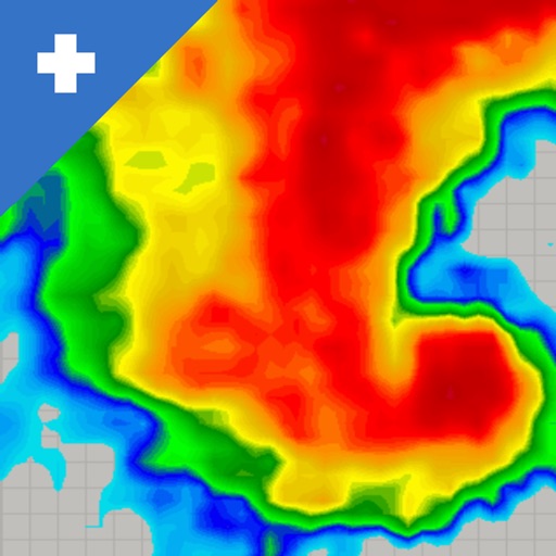
View real-time mosaics with 250-meter resolution for detailed storm tracking. Zoom in on weather patterns and analyze data. Save and share images. Access historical data for comparison. Set location-based alerts for severe weather conditions.
The app displays federal land boundaries for various US agencies, including BLM, FS, and NPS. Users can select map layers, view land ownership, and access agency websites for rules and regulations.
GPS OS allows users to determine their location on Ordnance Survey maps of Great Britain and Ireland without needing a phone signal. It provides high-accuracy positioning using OSTN15 transformation data.
Offline dictionaries for English-Indonesia and Indonesian-English translations. Search words quickly. Translate sentences online. Bookmark favorite words for easy reference.
Customize dashboards with configurable gauges like speedometer, odometer, GPS altimeter, barometric altimeter, accelerometer, artificial horizon, compass, and elapsed time. Swipe to switch views and access real-time sensor data from iPhone or iPad.
The app provides detailed maps for outdoor activities and work, including terrain, waterways, and property data. It offers features like offline maps, nautical charts, and GPS positioning for navigation.