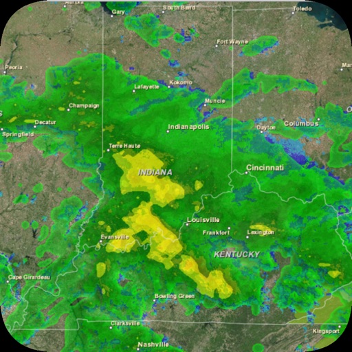
Provides property damage reports based on storm activity. Displays hail, wind, and lightning data. Shows frequency and severity of past storms. Allows users to check damage history for homes. Offers detailed storm impact analysis.
by Home Data Experts, LLC★ 5.02 ratingsWeatherFreeData updated 2026-09-06
View current with real-time temperature, feels like, and historical highs and lows. Check precipitation details including chance of rain, rainfall duration, and daily rate. Monitor wind speed and direction. Access for storm tracking.
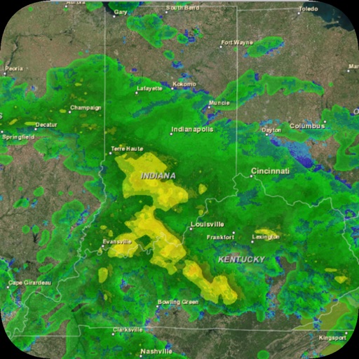
View real-time radar, temperature, and surface wind data on an interactive map. Access 48-hour and 10-day forecasts by location, city, or zip code. Watch live meteorologist streams for current updates.
Get real-time updates for Bedford, Coffee, Franklin, Grundy, Marshall, and Maury Counties. View radar maps, track storms, and receive severe alerts. Check hourly forecasts, temperature, humidity, and wind conditions.
The app provides the complete Enhanced Fujita scale for rating tornado damage. It includes all 28 damage indicators, degrees of damage, and expected wind speeds, with reference photos and construction details for each.
Check current and 10-day forecast with animated visuals. View realistic rain, snow, and storm effects. See sun rays, moonlight, stars, and moving clouds. Toggle between day and night modes. Share updates directly.
Track UV index and optimal tanning times based on location. Analyze skin tone via selfie for personalized routines. View progress over time. Set home screen widgets for quick weather updates. Follow step-by-step tanning guidance.
Provides real-time NWS alerts, emergency preparedness guides, shelter locations, school and road closure updates, damage reports, and contact information for services. Users can access critical information during and after emergencies.
Access real-time weather data with customizable storm tracking and radar imagery. Monitor live video and sensor data from cyclonePORT stations. Set alerts for severe weather conditions. Share weather updates and forecasts with others.
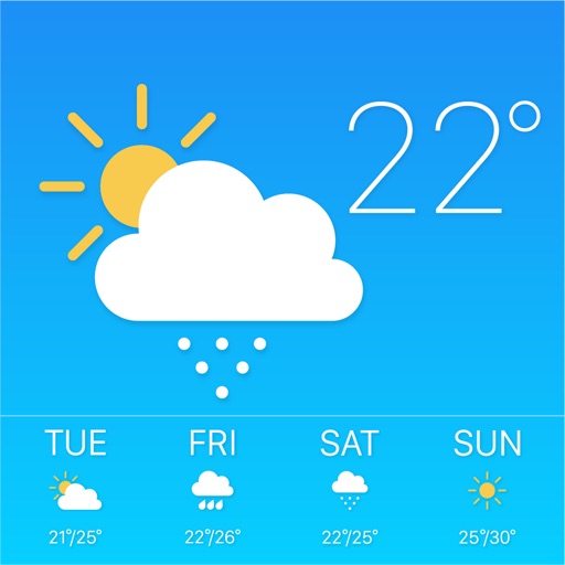
Check current and 24-hour forecasts. View 15-day predictions with detailed rain, storm, ice, and snow alerts. Receive real-time updates for local conditions. Plan activities based on accurate data.
Displays the current day and generates the full all mysteries. Includes the Our Father, ten Hail Marys, and a Glory after each. Tracks progress across devices and resumes interrupted prayers. Allows users to rate and leave comments.
Monitor real-time tornado and hail reports from both official sources and users. View animated radar maps and overlayed forecasts. Receive push alerts and check radar snapshots of affected areas.
Displays current temperature in both Fahrenheit and Celsius simultaneously. Shows real-time weather conditions. Includes precipitation and wind details. Allows users to toggle between metric and imperial units. Provides location-based forecasts.
Identify issues by comparing damaged plant parts to over 1000 high-resolution images. Learn about insect and disease causes. Access management tips for treatment and care. Share information with customers or colleagues.
View real-time radar and satellite imagery for weather tracking. Explore interactive maps with vertical and horizontal views. Access color-coded alerts by severity. Check the Road Weather Index for road conditions.
View radar data with high-resolution images and forecasts. Track severe weather patterns and receive alerts. Access professional tools like Triple/Quad View Radar Visuals for detailed analysis.