

Apps Like GRR Map for iPhone and iPad
Navigate and explore the ranch map offline
View locations and roads on the ranch using an interactive map. Access offline maps for navigation. Search for points of interest and zoom in for detailed views. Save favorite locations for quick access.
GRR Map screenshots
Ranked alternatives
Showing 821–840 of 1,000 ranked alternatives.
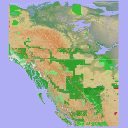
Scenic Map Western Canada
Mark Granger
3D topo map of Western Canada
The app provides a 3D topographical map of Western Canada. Map data downloads to the device for use without an internet connection, allowing users to view terrain features as small as ten meters.


Wheresit - Compass & AR Radar
Michael Geilich
Offline navigation with GPS and compass.
The app provides offline navigation using GPS and compass data. It features an augmented reality mode for overlaying target locations and a radar view to see nearby points of interest.
Map Map - Your Map on a Map
Ben Roberts
Overlay photos on maps to navigate trails
Capture and import photos of maps or diagrams. Overlay images on Apple Maps for navigation. Track location within visual references. Save and share custom MapMaps. View detailed location markers and directions.

Pacenote Maps
Pacenote Maps LLC
Generate drives with AI and track
Generate drives using AI prompts for complete routes with CarPlay integration. Browse community-curated roads with photos, surface notes, and distance details. Create custom routes by tapping to add locations and save them for future trips.

AdventHealth Wayfinder
Adventist Health System Sunbelt Healthcare Corp
Navigate hospital campuses with turn-by-turn directions
View hospital campus maps with turn-by-turn navigation. Find destinations, search for locations, and receive walking directions. Locate amenities like the cafe and restrooms. Identify parking options and save car positions.

Stuttgart Travel Guide Offline
eTips LTD
Offline travel guide with augmented reality.
The app offers a 100% offline travel guide with zoomable regional maps and augmented reality features. It includes interactive points of interest, daily itineraries, and city tips for navigation and safety.

Birmingham Travel
Application Nexus Webservices Pvt Ltd
Plan trips, explore attractions, book hotels, track
Plan trips by searching and saving points of interest. View photos and details about attractions. Book hotels and access offline maps. Use augmented reality for navigation. Check in on Facebook. Sync with Apple Health.
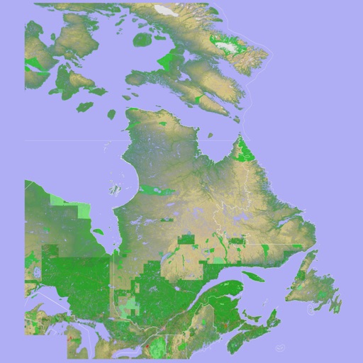
Scenic Map Eastern Canada
Mark Granger
3D topographic map of Eastern Canada
The app presents a 3D topographic map of Eastern Canada. Users can download map data for use without an internet connection, suitable for various travel methods.

Shanghai MRT Map
炽金 练
Plan trips with real-time subway maps
View subway lines in Traditional Chinese, Simplified Chinese, and English. Plan routes with one-click transfer options. Check station details and first/last train times. Browse maps for quick itinerary planning.

Paris Rail Map Lite
Ansgar Vollmer Und Till Knorr
Parisian transit routes clearly displayed.
The app displays a route map of Central Paris, featuring a route planner to find the fastest travel and a stations index for quick navigation. It includes GPS support to locate nearby stations and high-resolution graphics for clarity.

Where Did I Park ?!
Guy Gabbay
Save parking spots and view on map
Save car parking locations by tapping the + icon, which adds a pin to the map. View saved locations to locate parked cars. Share pins with others for assistance.

Taipei Subway Map
Yaroslav Mykolaienko
Navigate metro routes and stations
Plan routes and navigate metro system with real-time updates and step-by-step directions. View station maps, check arrival times, and get service alerts. Search for nearby points of interest and switch between metro lines.

Portland Guide and Subway map
Yaroslav Mykolaienko
Explore cities, find attractions, plan trips
Plan trips with detailed attraction info, including Powell’s City of Books, parks, and breweries. Use an interactive transit map for navigation. Book local tours and events. Get real-time weather updates and currency converter.
How we rank alternatives
Apps are ranked by functional similarity, category fit, rating confidence, and popularity.