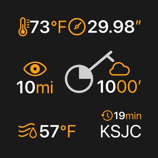
The app displays current weather conditions including temperature, humidity, and atmospheric pressure for the user's location. It provides essential weather information with a single interaction.
Monitor environmental conditions from remote locations. View data from weather stations, soil moisture sensors, and water distribution systems. Adjust settings and make decisions for crop production and water management.
Measure ambient temperature using GPS and display in . Show temperature in a badge with below-zero values indicated. Convert to Fahrenheit with a formula. Include barometric pressure readings from the pressure sensor.
The app provides current weather conditions, Doppler radars, and 10-day forecasts for Sacramento, Modesto, Stockton, and Tahoe. It offers high-resolution radar and satellite imagery, daily and hourly forecasts, and severe weather alerts.
Check real-time data from over 10,000 stations using high-resolution maps. View detailed tables and charts for conditions. Receive alerts for severe events near your location. Track lightning, heavy rain, and strong winds.
Capture images to track weather conditions. Adjust exposure and brightness. Save and organize photos. Share images with others. View location-based forecasts.
Track intake by logging consumption and viewing historical data and weekly. Set reminders and receive notifications to stay hydrated. Calculate needs based on weight, gender, and activity.
Track , full , and new dates. View sunrise/sunset and moonrise/moonset times. Check lunar days and zodiac signs for the position. Access daily forecasts for the upcoming month. Determine favorable planting days based on lunar cycles.
The app provides site-specific data for facility managers to monitor and manage climate conditions. It offers real-time insights into factors like disease risks and Growing Degree Days, enabling proactive measures.
The app displays weather and surface observations from Road Weather Information Systems. Users can view atmospheric and surface observations, camera images, METARs, historical graphs, lightning proximity, and weather radar data.