The app explores Indiana history with an interactive map. It provides historical information, images, and sometimes audio or video clips for various locations.
Allows users to generate Southern, Northern, and Eastern charts. It includes Divisional Charts up to D60 and Vimshottari dasha periods. Users can view planet positions in Nakshatras, Chara Karakas, and Arudhas.
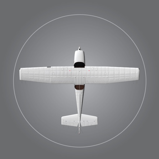
Explore aircraft systems with interactive diagrams
Study aircraft systems and limitations with organized chapters and interactive diagrams. Tap switches, levers, and buttons to see system changes. Practice normal and emergency operations. Correlate practical knowledge with POH descriptions.
Find local businesses and small brands by category or location. Search for services and products matching your preferences. View contact details, websites, and reviews. Save favorites and share business information directly.
View educational sessions, events, and exhibitors. Access speaker profiles, session details, and facility maps. Build a personalized schedule, take notes, and rate sessions. Stay updated on daily activities and learn about conference highlights.
The app provides complete programs for SPIE symposia, including events, exhibitors, and participants. Users can sync their schedule, add notes, and use search filters to find information and navigate venue floor plans.