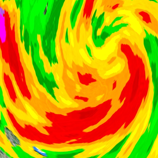
The app provides access to station content and features 250 meter radar with future radar capabilities. It includes high-resolution satellite imagery, current weather updates, and daily/hourly forecasts.
The app provides current weather conditions and daily/hourly forecasts. It includes an interactive radar with satellite imagery and weather video updates from meteorologists.
The app provides access to station content for mobile users. It features 250-meter radar, future radar, high-resolution satellite imagery, and current weather updates.
The app provides detailed, up-to-date forecasts and location-specific alerts from the local KXLY First Alert weather team. Users can view live and future radar, satellite imagery, temperature, and wind speed maps, and check local school closures.
Access real-time ocean data including wave heights, wind speed, water temperature, and currents from over 750 buoys. View detailed forecasts and conditions for sailing, surfing, and fishing.
Display times with clear, easy-to-read countdowns for full and new moons. Track major and minor feeding times. View future days. Set timezones for accurate local times. Rate current conditions.
View real-time satellite cloud imagery and interactive maps. Access colour-coded weather alerts by severity. Get accurate 10-day forecasts with hourly details. Save favorite locations. Use integrated GPS and compass for location awareness.
Track real-time conditions for coastal and water-based activities. View wave heights, wind speeds, and tide schedules. Receive alerts for storms and hazardous . Share current conditions with others.
The app provides access to station content and current weather updated multiple times per hour. It includes 250 meter radar, future radar, satellite imagery, and daily and hourly forecasts.
The app provides hyperlocal rain timing up to three hours ahead, including start and end times. It offers push alerts for incoming rain, severe weather, and customizable notification settings for weather events.
Distances and areas on satellite maps. Select objects like lawns, roads, and buildings. Save and share measurements. Export data in various formats. Sync with other apps for project planning.