Apps Like Dash Cam - Record Trips for iPhone and iPad
Video while navigating
Videos with multi-camera support including wide-angle, ultra-wide-angle, and telephoto modes. Enable navigation during recording. Switch between front and rear cameras. Use manual focus and auto focus. Preview videos anytime.
by 翠珠 马★ 4.698 ratingsNavigation$9.99Data updated 2026-09-06
Plan and optimize delivery routes with real-time adjustments. View detailed maps and voice-guided navigation during trips. Track vehicle locations and update routes dynamically. Receive alerts for traffic or delays.
Allow users to explore locations without an internet connection. They include detailed global with millions of points of interest. Users can download for use and bookmark favorite locations. GPS tracking enables recording of travel routes.
Track and bus arrivals with real- data from the MTA. View arrival times on home and lock screen widgets. Save favorite stations for quick access. Check service alerts for delays and changes. Compare transfer times between trains.
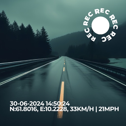
Record driving footage with motion detection and continuous recording. Track location and speed using GPS. Save and share videos directly. View playback and manage stored files. Receive alerts for impact detection and low storage.
Measure surfaces for levelness and angles with high precision. Calibrate quickly and save settings automatically. Accurate to one tenth of a degree. Supports Retina displays. Align picture frames or check table surfaces.
View CHP incidents, CalTrans conditions, chain control status, closures, highway cameras, CalFire incidents, and rest stops in . Switch between list and map views for incidents.
Provide offline with detailed points of interest. Record GPS tracks and bookmark locations. Receive turn-by-turn navigation with voice instructions in nine languages. Choose routing options for driving, cycling, walking, or shortest distance.
Plan routes and save them for future use. Create and manage tracks with waypoints. Share routes with friends. Download maps for navigation. Mark locations and export tracks in GPX format. No ads and no time limits for use.
View and edit custom maps, manage geographic data, and perform measurements. Support offline map downloads, track locations, record photos and videos, and share memories. Includes tools for surveying, cartography, and planning trips.