The app displays current fire department alerts and operations from Upper Austria. All relevant details, including type, text, district, responding fire departments, and alarm level, are available immediately after an alert.
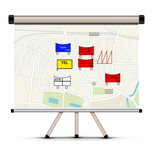
The app allows users to create and edit tactical maps with over 1600 symbols from various organizations. It supports custom map materials, drawing functions, and the ability to record situation reports directly within the application.
Landesstelle fuer die nichtstaatlichen Museen in Bayern
Explore history through interactive touchscreens
Explore the history of the Thalmässing region from the Paleolithic to the Middle Ages. Interact with hands-on elements and touchscreen monitors in the archaeological museum.