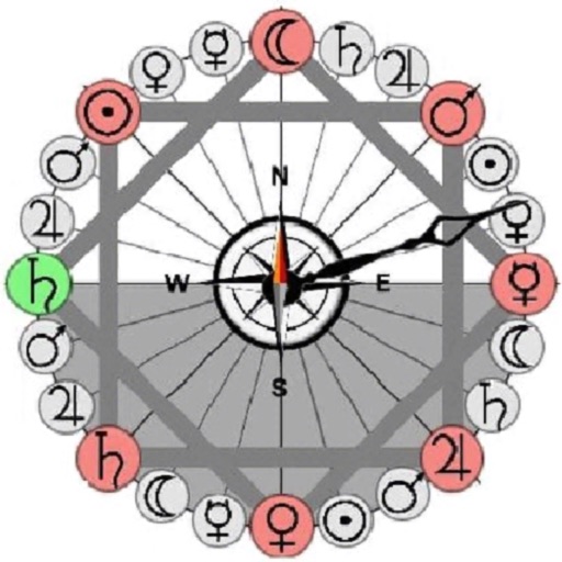
Track displays current position, longitude, latitude, altitude, air pressure, magnetic field strength, and speed. Includes real-time positioning and map functionality. Offers 360° rotating styles for direction identification.
by ShenZhen City XueQin Information Technology Inc.★ 3.02 ratingsUtilitiesFreeData updated 2026-09-06
Navigate using sound and a visual compass to guide toward waypoints. Switch between map and compass modes. Skip to next waypoints. View location details and explore binaural audio options.
The app displays an animated compass rose showing traditional Mediterranean winds. Users can point their device to identify wind direction and tap for descriptions and characteristics.
Dronar displays real-time sonar data showing fish location, size, and depth. It alerts users when fish are detected. Users can set alarm thresholds and view comprehensive fish metrics.