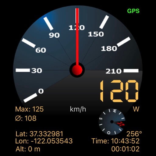
Track displays current position, longitude, latitude, altitude, air pressure, magnetic field strength, and speed. Includes real-time positioning and map functionality. Offers 360° rotating styles for direction identification.
by ShenZhen City XueQin Information Technology Inc.★ 3.02 ratingsUtilitiesFreeData updated 2026-09-06
Displays prayer times for Fajr, Shorouq, Dhuhr, 'Asr, Maghrib, and I'sha using GPS positioning. Shows Qibla direction compass and Islamic calendar. Provides alarm notifications for prayer times.
Find codes by entering country, city, and address. Retrieve details along with latitude and longitude coordinates. Search for addresses globally and view geographic information.
Measure lengths with a ruler supporting metric and imperial units. Detect ambient noise levels using a decibel meter. Use a protractor tool to measure angles via the camera. Calibrate screens for accurate color display.
Save and edit coordinates with latitude and longitude. Use GPS to capture current position or search by keyword. View maps and annotate locations with or tags. Share data via copy or export options.
Enter coordinates to set waypoints. Navigate to locations using latitude and longitude. View maps with metric or customary units. Track direction and distance. Save and recall multiple waypoints.
Barometer measures altitude, local pressure, and sea level pressure using phone sensors. Records data for analysis with graphs and displays weather details like temperature and cloud cover.