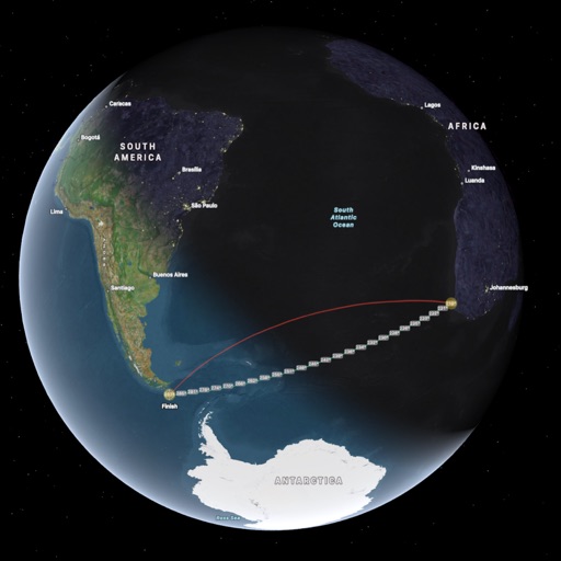
GPS Waypoints Lite app icon

Apps Like GPS Waypoints Lite for iPhone and iPad

by Bluecover Technologies Lda★ 2.01 ratingsNavigationFreeData updated 2026-09-06

GPS Waypoints Lite screenshots

Ranked alternatives

Showing 601–620 of 1,000 ranked alternatives.

  1. PathAway Outdoor Navigation app icon

    PathAway Outdoor Navigation

    Scott Northmore

    Track routes, navigate trails, and map

    Record GPS tracks to monitor progress and navigate back. Download offline maps for street, topographic, and satellite views. Save and share route data. Measure distances and elevations. Use compass and waypoints for accurate .

    ★ 3.25 ratingsNavigationFreeData updated 2026-09-08
  1. Finds app icon

    Finds

    Robert Gaddy

    Log user finds with GPS coordinates.

    The app records user finds, capturing GPS coordinates for precise location noting. Users can add photos, custom categories, and tags to their finds, with options to edit and export data.

    ★ 3.86 ratingsProductivity$2.99Data updated 2026-11-14
  2. GPS Fields Area Measure App app icon

    GPS Fields Area Measure App

    Gohel Prakashbhai

    Areas, track routes, and navigate efficiently

    Calculate distances and areas using GPS. route lengths and track movement. Access GPS Camera, Compass, and Speedometer for navigation. View Satellite, Normal, Terrain, and Hybrid maps. Locate nearby points of interest and monitor live positions.

    ★ 5.02 ratingsNavigationFreeData updated 2026-09-06
  3. ez-Connect app icon

    ez-Connect

    Globalsat Technology Corporation.

    ★ 0.00 ratingsUtilitiesFreeData updated 2026-09-06
  4. GE0 app icon

    GE0

    Ali Salman Al Qatrani

    ★ 5.01 ratingsNavigationFreeData updated 2026-09-06
  5. Span Over app icon

    Span Over

    DUKANNIFY FOR WEB DESIGN L.L.C

    ★ 0.00 ratingsBusinessFreeData updated 2026-09-06
  6. Great Lakes HD Nautical Charts app icon

    Great Lakes HD Nautical Charts

    Flytomap

    Navigate with marine and outdoor maps

    Navigate with offline marine, lake, and outdoor maps. Access worldwide satellite and terrain overlays. View local weather forecasts. Use NOAA, USGS, and DRG data for detailed charting.

    ★ 2.17 ratingsNavigation$14.99Data updated 2026-09-08
  7. GPS Area Calc app icon

    GPS Area Calc

    A2 Consulting LLC

    Calculate and convert map areas easily.

    The app calculates area based on plotted points on a map or GPS points. It allows conversion between various area units and saving/sharing of calculated areas.

    ★ 3.02 ratingsUtilitiesFreeData updated 2026-10-18
  8. Minnesota Lakes Fishing Charts app icon

    Minnesota Lakes Fishing Charts

    Flytomap

    Worldwide marine lake outdoor maps

    The app provides worldwide marine, lake, and outdoor maps, satellite imagery, and terrain features. It offers local weather forecasts, tide data, and community information for boaters and fishermen.

    ★ 1.07 ratingsNavigation$9.99Data updated 2026-10-30

How we rank alternatives

Apps are ranked by functional similarity, category fit, rating confidence, and popularity.