
GPX Atlas – GPS Tracks & Maps
Boterham
Read, create, and share GPX maps.
The app reads GPX files and displays details for Waypoints, Routes, and Tracks. Users can create maps by adding places with notes and get directions.

Save parking location and share photos
Save parking locations with GPS or map input and add photos for reference. Retrieve saved locations to navigate to your vehicle using maps and photo guidance.
Showing 821–840 of 1,000 ranked alternatives.
Boterham
Read, create, and share GPX maps.
The app reads GPX files and displays details for Waypoints, Routes, and Tracks. Users can create maps by adding places with notes and get directions.

Corvallis Microtechnology, Inc.
GPS data collection and mapping tools.
The app provides tools for timber stand basal area estimation and GPS data collection. Users can map land parcels, create grid points, and import or digitize features.



Corvallis Microtechnology, Inc.
GPS data collection and mapping functionality.
The app collects and maps GPS data for land parcels and features. Users can import data, manually digitize, or enter deed calls to create features.

Convep Mobilogy Sdn. Bhd.
Find events, attractions, and places to stay
Retrieve quick information, videos, and photos about upcoming events, attractions, dining, shopping, and accommodations in . Use GPS and Google Maps to locate current and desired destinations. Access the Top 5 alerts for latest perks and updates.


Merch Visoiu
View real-time transit and next arrival times
View real-time locations of TTC buses and streetcars on a map. Tap a stop pole to see arrival times for next vehicles. Select a route and direction to filter displayed vehicles and stops. Icons show vehicle type and direction.


Corvallis Microtechnology, Inc.
Measure distances and areas precisely.
The app allows users to precisely digitize points, lines, and areas over a map and save them as features. Users can view position, length, or area values for saved features and measure distances and areas without saving shapes.
Jaroslaw Szymczyk
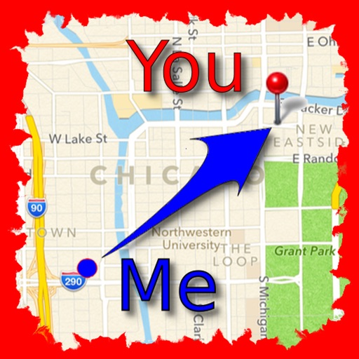
Find friends and save locations.
The app allows users to find friends by showing their current direction and distance to the friend's last known location. Users can label and store locations, then find directions and distance to them.


Azimuth1, LLC
Tag your points and sync with
Create and manage private maps with team members. Locate and tag points using GPS or manual selection. Share maps with anyone. Sync changes in real time. Export data in GIS, Google Earth, or Excel formats. Use activity-specific icons for PRO users.

GPSmyCity.com, Inc.
Explore , discover landmarks, navigate streets
Explore self-guided walking tours with detailed city maps. Navigate to attractions and hidden spots. Save favorite locations and track your progress. View real-time directions and points of interest. Share routes with others.

Michael Geilich
Offline navigation with GPS and compass.
The app provides offline navigation using GPS and compass data. It features an augmented reality mode for overlaying target locations and a radar view to see nearby points of interest.


Apps are ranked by functional similarity, category fit, rating confidence, and popularity.