Track speed using GPS with real-time updates. Display current speed, distance traveled, and time elapsed. Save trip data and view historical speed logs. Share speed records via social media or email.
by Viktar Zhukavets★ 4.3495 ratingsNavigationFreeData updated 2026-09-06
Navigation provides real-time alerts about speed cameras and radar detectors in Russia, Ukraine, Belarus, Kazakhstan, Kyrgyzstan, and Uzbekistan. Displays speed and distance to cameras on the windshield.
Provides real-time , atmospheric pressure, latitude, and longitude data. Users can switch between GPS and device altimeter for readings. Camera integration allows photo capture with location data overlay.
View and analyze GPX and KML files to explore existing tracks or plan new routes. Display detailed maps with waypoints, paths, and elevation data. Share tracks via email or social media. Sync with GPS devices for real-time navigation.
Track elevation and location using AI-powered and GPS. Access real-time weather forecasts based on barometric pressure. Use compass for direction and calculate sunrise/sunset times. View POIs and integrate with AI chatbot for contextual information.
Calculate distances and areas using GPS. route lengths and track movement. Access GPS Camera, Compass, and Speedometer for navigation. View Satellite, Normal, Terrain, and Hybrid maps. Locate nearby points of interest and monitor live positions.
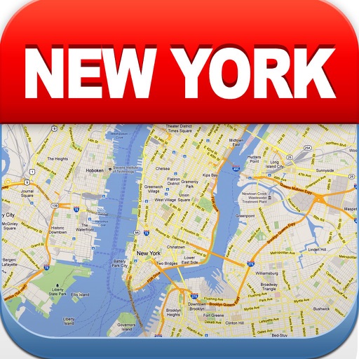
View maps of New City, including subway and airport routes. Navigate using real-time GPS without internet. Bookmark addresses for trip planning. Access top attractions and explore without data usage.
The app displays the user's current speed in various units including miles per hour, km per hour, knots, and meters per second. It offers a HUD-mode for in-car viewing and a top speed mode to track the highest recorded speed.
Display , latitude, altitude, and GPS speed. Show real-time weather, pressure, and wind direction. Track location with GPS and mobile sensors. View geographical data for accurate positioning.
Monitor vehicle movement, ignition status, and location in real time. Send commands like messages and route instructions. View detailed movement tracks with speed, fuel levels, and other data on a map.
Trip miles using GPS by state or province. Log odometer readings manually for each state and record highways traveled. Note load drop locations and fuel stops to calculate MPG. Create and manage load manifests for each trip.
Test speed and locate nearby connections using a map. Find free spots and their passwords. Connect to secure networks with security testing. Access multiple subscription plans for unlimited features.