

Apps Like Jasper: Microbiome Maps for iPhone and iPad
Jasper: Microbiome Maps screenshots
Ranked alternatives
Showing 161–180 of 1,000 ranked alternatives.


GlobiLab
Globisens Ltd
Science experiments on iPad mobile.
The app wirelessly collects data from up to 15 built-in science sensors for iPad. It allows for setup and data analysis of hands-on experiments in various science subjects, engaging students with interactive features.


MathMagic Lite for iOS
InfoLogic (BC)
Write math and science symbols easily.
The app allows users to write mathematical expressions and scientific symbols. These can be used in word processors, presentations, and web content.


StraboField
The University of Kansas
Record data, capture photos, create maps
Record geological observations with spatial data collection using points, lines, or polygons. Capture photos and sketches. Create maps and stratigraphic sections. Use high-resolution image basemaps and nested Spots for multi-scale data management.



British & Irish Butterflies
NatureGuides Ltd.
British and Irish butterfly field guide.
The app provides detailed information on 61 British and Irish butterfly species. It features artwork, photographs of all life stages, distribution maps, and flight time charts for butterfly watchers.


Vector Guard - Bug Identifier
Playpen Games, Inc.
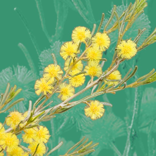
Assess risks before outdoor trips
Access real-time risk maps to identify threats in specific areas. Identify insect species and receive safety recommendations. View seasonal forecasts and 7-day predictions for disease risk.

VueMe
MIM Software Inc.
View medical images and share securely
View standard medical images such as SPECT, PET, CT, MRI, x-ray, and ultrasound. Access secure, encrypted data transfers. Scroll through images simultaneously with image fusion. Create maximum intensity projections for PET and SPECT scans.


Memoria Sankt Gallen Swiss
Marco Krapf
Images of Swiss city changes.
The app displays images from the canton of St. Gallen, Switzerland, allowing users to see how the city has changed over the past century.

Explore NYC
Rothrock Group, LLC
Sights on foot with guided narration
Lower Manhattan with guided walking tours featuring narration, GPS-enabled maps, and real-time directions. View 16 sights over 3.5 miles. Pause and resume tours during rain. Access offline maps and audio guides. Share locations and track progress.
How we rank alternatives
Apps are ranked by functional similarity, category fit, rating confidence, and popularity.