

Apps Like Balloon Nav for iPhone and iPad
Balloon Nav screenshots
Ranked alternatives
Showing 441–460 of 1,000 ranked alternatives.


Ryotei - GPS Tracker
Thor Mikashima
Record and relive travel journeys.
The app records user routes with GPS, allowing users to relive journeys using maps, photos, and speed data. Users can view color-coded tracks by speed or elevation and browse photos taken along the route.



Virtual Cockpit
Fidel Eduardo Lopez Mayorga
Record vehicle travel data application.
The app records vehicle travel data, displaying real-time measurements like speed, distance, and altitude. It offers features such as trip recording, customizable themes, speed limit alerts, and HUD mode.


Catch Tracker AI
CADE THOMAS BECNEL
Track catches, analyze patterns, improve your game
Track fishing trips with detailed logs of catches, including weight, bait used, and dates. Save photos of catches in a gallery. Analyze patterns and track personal s over time. Share trip details with a community.

Speedo GPS Speed Tracker, Car Speedometer, Cycle Computer, Trip Computer, Route Tracking, HUD
Kevin Siml
Track , distance, and
Record data including , average , distance, altitude, and elapsed time. View real-time GPS tracking with longitude and latitude. Monitor statistics and save history. Sync with devices for offline navigation.


PFMA E6B
Gonzalo Esteban Astica Capra
Manage flight data and calculate fuel burn
Navigation provides flight planning and in-flight calculations. Users can customize quick access buttons, configure units, and manage blocks and airtime.

My Altimeter GPS Altitude Map
Savelii Stepura
Locate position, view , track pressure
Displays latitude, longitude, and using GPS. Shows atmospheric pressure and boiling point of water at current location. Provides elevation data above sea level. Offers ad-free experience via in- purchase. No functional limitations.

GPS Plus - All In One GPS
Minh Nguyen
View location data and save coordinates
View current location details including latitude, longitude, altitude, and address in Decimal or DMS format. Track trip data such as distance, speed, and maximum speed. Save location and trip information for later review.
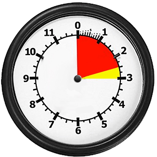
Skydive Altimeter
Greg Callaghan
Practice altitude awareness during dives.
The app simulates an altimeter for skydiving students to practice altitude awareness. It supports metric and feet, configurable jump heights, and simulated audible alerts for different stages of a skydive.

Simply North
BusyBytes GmbH
Navigate with compass, location, altitude, and speed
Navigation displays true and magnetic , current location, altitude, and speed. Users can track movement and view detailed compass readings. Features a clean, intuitive interface with a modern flat design.

Walk Tracker by 30 South
30 South LLC
Track walking fitness goals with stats.
The app tracks speed, distance, altitude, and time for walking fitness goals. Users can view saved workouts on a color-coded map and receive voice summaries of their progress.


How we rank alternatives
Apps are ranked by functional similarity, category fit, rating confidence, and popularity.