The app calculates areas of uploaded images by allowing users to set a drawing scale before outlining a shape's perimeter. It supports multiple drawing layers for summing areas and displays results in imperial and metric units.
Shows the direction to Mecca for prayer based on the user's location. It calculates the shortest great circle route and displays the distance in miles. Users can determine prayer direction and travel distance accurately.
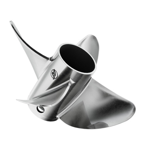
Calculate pitch, gear ratio, RPM, slip, and speed by inputting any four variables. Toggle to select the parameter to compute. Provides precise mechanical and propulsion-related calculations.
Track real-time positions, distance, and direction with a high-precision GPS module and LoRa radio. Share location updates and communicate during outdoor activities without needing Wi-Fi, cell service, or subscriptions.
Measure distances and areas using AR technology. Tap to mark points and calculate lengths. View measurements in inches or centimeters. Save and share measurement data. Sync with other devices for project management.
Objects, lengths, angles, areas, and heights using augmented reality. Switch between metric and imperial units. Take screenshots, use flashlight, and draw clear measurement lines. Perform single or chained measurements and estimate person height.
Track steps, distance, and calories burned with a built-in pedometer. Monitor sleep quality and duration. Receive text messages and notifications from a smartphone. Sync with a sport bracelet for real-time performance data.
Visualize life-size eyeglass based on your prescription. Input frame size and material to see right and left lenses. Compare different materials and indexes. Choose from available frame models and zoom to view lenses at actual size.
The app calculates various geometric and physical properties. It includes functions for triangles, distances, projectile motion, orbital mechanics, and quadratic equations.
Trips by suggesting optimal routes and displaying nearby stops like restaurants, ATMs, and petrol stations within 50 kilometers. Track fuel and food stops along the way. Adjust routes and view estimated travel times.
The app measures height using the iPhone barometer sensor and current pressure. It can use the nearest weather station or a manual reference, and also displays the current temperature.