Land and distances using GPS by marking points on a map. Calculate field size, plot dimensions, and property boundaries. Save and share measurement data. Sync with other devices for accurate field surveys.
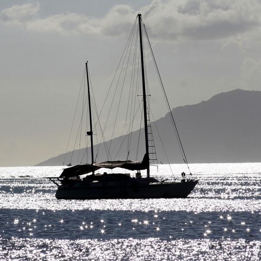
The app monitors an anchored boat and alerts users if it moves outside a defined region. It operates in the background, allowing simultaneous use of other applications on the device.
Track ship positions using AIS data with over 1 million targets and 300K updated ships daily. Access weekly updated nautical charts and replay ship trajectories for 3 months.
Manage GPS tracking for vehicles, valuables, and people. View real-time locations, receive alerts, and access historical data. Set up tracking profiles and monitor multiple devices from a single account.
Set speed limits and receive alerts when exceeded. Share live vehicle location with others and track their location in real time. Create and customize multiple geofences with adjustable shapes and sizes.