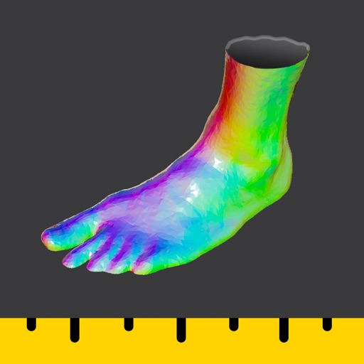
Convert real-world objects into 3D models by capturing images and LiDAR data. Use a compatible RTK device for precise measurements and geolocation. Visualize models in the , upload, export, and view them in augmented reality.
Allows professionals to measure homes using LiDAR and camera AI. It generates ACCA-approved Manual J load calculations with taps. It streamlines sales workflows and reduces post-visit tasks.
Access favorite resources, protect data and online activity from third parties, and hide IP address. Manage subscriptions for use on up to 10 devices. View terms of service for privacy and usage policies.
Room dimensions using augmented reality. Tap to mark points and view real-time 3D measurements for width, length, height, and distance. Export measurements and save data for future reference.
View specifications, battery health, display details, and storage usage. Check connectivity options and sensor information. Add lock screen and home screen widgets for quick access to key data. Manage storage and monitor performance metrics.
Capture and scan objects or spaces to create detailed 3D models using camera zoom, auto-timer, and manual focus. Scan areas by walking with a mini-map, interactive camera views, and real-time raytrace preview.
Control robot dog with touch interface and precise movement commands. Use AI language model for voice interaction. Perform OTA updates and HD video streaming. Enable obstacle avoidance and graphic programming for customization.
Capture 3D scans using technology for architecture, engineering, and construction. Record scans quickly and view high-resolution models in real time. Export scans for use in projects. Sync with construction workflows.
Leverage AI to answer complex business questions by integrating web research and internal data. Perform calculations, build models, and analyze articles quickly. Securely access and process data for informed decision-making.
Create floor plans by touching the phone against walls in low-light or obstructed areas. Manually draw layouts or use laser measurements with compatible devices. Export plans and share them directly.
Navigation allows users to view and share GPS coordinates in six formats. It includes a , altitude, distance, and sunset/sunrise tracking. Users can set and edit waypoints with photo or audio notes.
Measure device performance for machine learning tasks. Run vision and language tests to assess CPU, GPU, and Neural Engine capabilities. View results to compare device speeds.
Manage smart home devices with remote control, automation, and scene setup. Adjust lighting, power, and security settings. Use FastCon for quick device pairing. Monitor sensors and control IR/RF devices. Set triggers for automated actions.
Length and height using your phone's as a or . Detect surroundings with AR technology. Use the level tool for precise measurements. Place aiming mark on object for accurate readings.