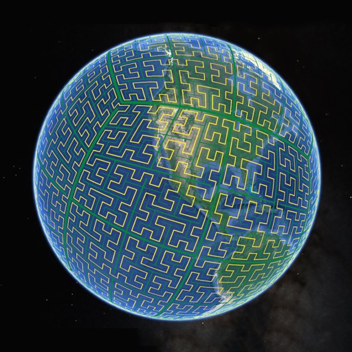
Display S2 cell boundaries globally. View cell IDs and compare with real-world landmarks. Integrate with Ingress Intel Map to check portals and stops. Ensure new submissions align with cell boundaries.
by Simon Frost★ 4.33 ratingsNavigation$0.99Data updated 2026-10-05
Explore self-guided walking tours with detailed city maps to navigate attractions and hidden spots. Locate points of interest, track your route, and save favorite locations for future visits.
Explore self-guided walking tours with detailed city maps. Discover attractions and hidden spots. Navigate using interactive maps. Set personal walking routes. Receive location-based information along the way. Share tour experiences with others.
Navigate between buildings on the University of Birmingham campuses. Find study spaces, café locations, and event updates. Access real-time bus and train schedules. View opening times for facilities and receive travel guidance.
View real-time satellite imagery of any location. Explore 3D terrain and interactive street views. Track location and receive traffic updates. Navigate with detailed maps and location-based information.
Choose a pass or membership. Locate nearby stations via an interactive map. Check real-time bike and dock availability. Plan trips in . Unlock and return bikes easily. View ride history.
Users can view and convert coordinates between multiple datums including WGS84, NAD27, and GDA94. Input locations manually or via GPS. Select source or target coordinate systems for conversion. Display locations on an embedded map.
Displays device location as a plane with speed, direction, altitude, and geo data. Allows adding markers at specified distances or times along the flight path. Tracks movement on the map.