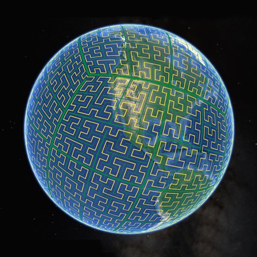
Display S2 cell boundaries globally. View cell IDs and compare with real-world landmarks. Integrate with Ingress Intel Map to check portals and stops. Ensure new submissions align with cell boundaries.
by Simon Frost★ 4.33 ratingsNavigation$0.99Data updated 2026-10-05
Use augmented reality for navigation. Access offline maps and metro guides for Sao and Santos. View interactive points of interest with public transport and attractions. Explore daily itineraries and budget-friendly hotels.
Explore self-guided walking tours with detailed city maps. Navigate to attractions and hidden spots. Set waypoints and track progress. View points of interest and receive directions. Share locations and save favorite routes.
Explore self-guided walking tours with detailed city maps to locate attractions and hidden gems. Navigate trails at your own pace. View maps with points of interest and track your route. Share tour locations with others.
Landmarks with an interactive map that provides details on locations like Reykjavik and the Highlands. View high-quality images and videos of attractions. Get real-time updates on weather and road conditions. Navigate with turn-by-turn directions.
Navigate with augmented reality and interactive points of interest. View zoomable maps and regional details. Access guides and shop recommendations. Find public transport, restaurants, and safety tips. Sync with iPhone, iPad, or iPod touch.
The app offers offline travel guides for major US cities, featuring interactive maps, daily itineraries, and augmented reality capabilities. Users can explore points of interest, shopping, and nightlife without needing an internet connection.
Manage trucking operations by tracking lanes, routes, and daily loads. Access load details including stops, addresses, and scheduled swaps. Allow drivers to upload photos after each stop for secure documentation and communication.
Explore cities with self-guided walking tours featuring popular attractions and hidden spots. Navigate using a detailed map to find points of interest. Track your route and learn about locations through audio or text guides.
Explore surroundings by photographing landmarks and estimating distances. Reconstruct environments from memory. Track spatial memory progress with interactive challenges and feedback.
Explore self-guided walking tours with detailed city maps. Navigate to attractions and hidden spots. View step-by-step directions and track progress. Save favorite locations and share routes.
Track real-time bus arrivals with accurate schedules. Locate nearby stops and save favorites for quick access. View live bus maps and search for stops interactively. Receive alerts for upcoming arrivals.