The app enables users to map flooding and document sea level rise impacts. It allows participation in crowd-sourcing events to capture localized data and find nearby trouble spots where high water affects travel.
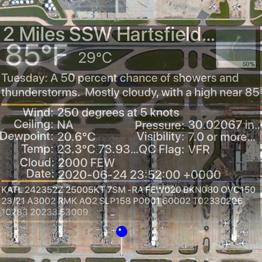
Track real-time weather conditions, including temperature, wind speed, and precipitation. Receive alerts for severe weather changes. Sync forecasts to plan beach activities. Use Siri Shortcuts to quickly check forecasts and alerts.
Track flight delays at select US airports using FAA data. View summaries and heat maps showing current delays. Access weather information for international airports. Link to myTSA for additional travel resources.
The app provides current FAA aviation charts updated every 28 days, including approach plates for the USA. It offers VFR, IFR, and other chart types, with METAR/TAF and IFR overlays.