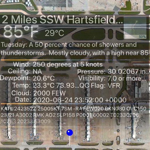
Track flight paths and waypoints. Display real-time GPS data and altitude. Set navigation targets and receive turn-by-turn guidance. Monitor weather conditions and air traffic. Save and share flight logs. Sync with external devices for telemetry.
LogGPS records GPS data including coordinates, altitude, speed, and accuracy when the save button is pressed. Users can add notes, edit or clear them between saves. Data is stored with timestamps and can be reviewed later.
Access real-time flight charts, weather data, and distance-time information. Check ROTAER updates, copy routes to FPL BR, and manage VFR, IFR, or mixed profiles. View current AIRAC cycle data and navigate flights securely from pre-flight to landing.