Trips with personalized itineraries, adding destinations, activities, and attractions. Store documents such as tickets and passports. Track expenses and currency conversions. Share trip details with others. Sync data across devices.
Navigate with marine and outdoor offline. Overlay satellite and terrain data on charts. Access local weather forecasts. View worldwide and satellite imagery when connected. Use NOAA raster data for detailed navigation.
Save locations for quick access. View all saved locations in one place. locations via links or maps. Navigate using Apple Maps, Google Maps, Yandex, and Waze.
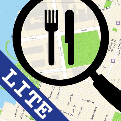
The app discovers nearby restaurants, bars, and cafes. It provides real-time distance information and allows users to view locations in Maps, call businesses, or get directions.
The app visualizes distances between two locations alongside a user's hometown map. It translates remote distances into familiar hometown equivalents, making them easier to understand.