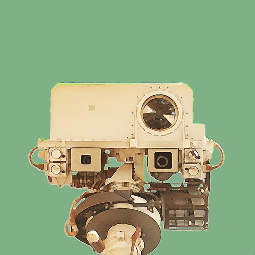
View and explore images from NASA’s Curiosity, Spirit, and Opportunity rovers. Browse current or past photos by sol date. Bookmark favorite images and share them directly. No login required.
Get real-time weather data from the Curiosity Rover. Track planetary positions with accurate celestial mapping. Share observations on Twitter and Facebook.
Track speed, distance, altitude, and heading with real-time GPS data. Record trips with route tracking and save journeys for later. View live maps with position updates. Export trip data for analysis.
The app displays stars, planets, and constellations in their correct positions based on the user's location. Users can explore the night sky, view celestial objects, and adjust the sky map in real time as they move their device.
View images and slide through high-definition photos
View rover images from Perseverance, Curiosity, Opportunity, and Spirit. Tap to enter slideshow mode, double-tap to zoom, or share images. The tab displays visuals about atmosphere, gravity, temperature, and surface features.
Navigate using weekly updated nautical charts from NOAA. Plan routes manually or automatically. Record GPS tracks and store navigation data including markers and routes. Share data with others. Display tides and currents.
Explore Mars images from NASA's Curiosity using camera, date, and sol date filters. View archived photos and learn about Mars time and the mission. Save selected images to your device's photo library. Share photos via email.
3D models using gesture-based controls for object and camera manipulation. Multi-select vertices, edges, faces, and objects with long taps or frame drawing. Merge, connect, and create faces from vertices. Draw cuts on edges.
Record , time, distance, heading, and elevation during trips. Track GPS data and view trip statistics. Enable head-up display for real-time information on the windshield. Sync with devices and save trip details for later review.
Navigate using synchronized and map. Designate points by holding. Create routes and add multiple pins. four map types and traffic. Share locations. Search for places. Switch between portrait and landscape modes.
Plan and track rides with real-time navigation and route optimization. View cycling routes and paths worldwide. Sync with HealthKit for fitness data. Customize routes based on bike type. Share and discover routes via .NET.
The app presents a 3D globe of Mars with interactive controls for manipulation. Users can zoom, pan, and access detailed information about features, including spacecraft locations and named features.
Track , distance, altitude, and heading in real time with GPS. View live position on an interactive map. Record trips with detailed route mapping and save journeys for later review. Switch to HUD mode for hands-free navigation.
View video streams of Earth from the International Space Station. Watch continuous 24/7 footage. Access real-time imagery and satellite data. Adjust camera angles and zoom. Receive notifications about space events and launches.