

Apps Like Highway Info for iPhone and iPad
Highway Info screenshots
Ranked alternatives
Showing 1–20 of 178 ranked alternatives.

Lincoln Highway
Tom Aude
Explore historic sites along the
Explore the original route from New York to San Francisco with turn-by-turn navigation. Discover 88 historical points of interest. Access links for additional information. Share locations via Facebook, Twitter, SMS, or email.

Highway Dining
One Team US, LLC
Find restaurants along the highway.
The app displays nearby restaurants based on driving direction and speed. Users can find dining options within 20 to 60 minutes and view reviews from other visitors.


高速道路料金- Highway
kazuhiko koyama
Route search with IC input and ETC
Enter start and via ICs to search for optimal routes, toll fees, and travel time. Use condition search to calculate accurate ETC discounts based on vehicle type and time. View route details on a map for comparison.


Mars Info
Viktor Goltvyanytsya
Explore with gesture controls
Explore by rotating, tilting, and zooming a 3D globe. Select locations to view topographic and gravity data. Pinpoint key features like volcanoes, craters, and spacecraft landing sites.

Traffic Maps: realtime info
Raul Martin Carbonell
Track with two customizable maps
Navigation displays real-time on two customizable maps. Users can track their position while driving, adjust zoom settings per map, set map sizes, and toggle between vehicle-following and north-up views.


marée.info
EURL BOLO Informatique
Tide information for coastal activities.
The app provides tide information for coastal activities. It offers tide times, heights, and coefficients for 140 ports in mainland France and the Channel Islands.

Million Dollar Highway Guide
Storyteller Tours LLC
Explore trails and discover landmarks
Explore the with self-guided driving tours. View historical landmarks and scenic overlooks. Learn about Colorado’s gold rush era through narrated stops. Navigate the route with interactive maps and real-time directions.

Highway Weather, Travel, Road
Proalab Limited
Plan trips, add waypoints, view weather forecasts
Plan trips by adding waypoints and viewing weather forecasts for each segment of the journey. See real-time weather updates, conditions, and adjust travel plans based on forecasted weather.
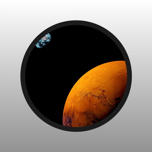
Mars Info Lite
Viktor Goltvyanytsya
Explore with gesture controls
Explore by rotating, tilting, and zooming a 3D globe. Select locations to view topographical data and gravity maps. Pinpoint key features like volcanoes, craters, and spacecraft landing sites.

Croatia Traffic Info – HAK
Hrvatski autoklub
Track road conditions and alerts
Drivers can access real-time conditions, border crossings, and ferry . View current speed limits and restrictions. Get tomorrow’s forecast. See live camera images from over 200 locations on major roads.


Pacific Coast Highway 1 Guide
17 Mile Drive Day Trips, LLC
Explore scenic routes and coastal views
Explore scenic routes along California’s . Navigate from San Francisco to Monterey, then continue to Big Sur, Carmel, and finally Los Angeles. Access detailed narration, maps, and points of interest.
How we rank alternatives
Apps are ranked by functional similarity, category fit, rating confidence, and popularity.