Access catalog to search, reserve, and manage holds and checkouts. Add multiple accounts for account management. View and register for events. Check hours, locations, and services. Access online learning resources.
The app provides 4,400 pictures and 2,200 exercises for visual instruction. It allows users to create custom lessons and access a community with over 4,000 peer-developed lessons.
Explore points and meridians through interactive 3D models that can be zoomed, panned, and rotated. Access 2D illustrations, animations, and detailed text for each point. Look up information quickly and share content.
Explore a 3D model of the International Space Station. Rotate, zoom, and select individual components for detailed views. Access information tabs for part descriptions, hierarchy, settings, and details. View the entire ISS with labeled categories.
Learn U.S. geography with interactive quizzes and state outline recognition. Test knowledge of states and through multiple-choice questions. Track progress and review answers for better understanding. Sync across devices for continued learning.
Randomly select student names, Dolch sight words, math facts, or custom text lists. Create and edit groups by number of groups or students per group. Set restrictions to prevent specific groupings. Save and reuse group configurations.
Run code on iOS devices using an interpreter that supports common functions for students and learners. Edit and execute scripts, view results, and access basic features without requiring advanced capabilities.
Explore a spiral visualization of LDS from 1836 to the present. Scroll through time using a slider or rotate the spiral with finger gestures. Search for by name and tap images to view detailed information.
ZKM | Zentrum fuer Kunst und Medientechnologie Karlsruhe
Explore and their stories
Explore the properties and historical impact of key . Learn about their roles in shaping civilization, climate, and technology. View interactive diagrams and read detailed scientific explanations.
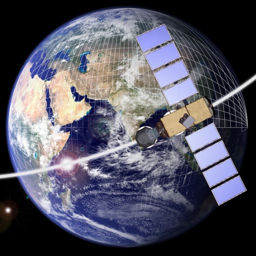
Design and explore satellite orbital geometry interactively.
The app lets users design and explore satellite orbital geometry using an iPad's multi-touch interface. Users can manipulate orbits with gestures, see real-time effects on orbits and ground tracks, and animate results.
The app allows users to hover a helicopter over a helipad. Users can score points by hovering close to the center and control the helicopter by tilting and rotating the device.