Navigate with smart route planning and real-time traffic updates. Access 3D offline maps and precise estimated time of arrival. Receive speed camera warnings and traffic alerts. Support for , HGV, RV, and other large vehicles.
Navigate using GPS, AIS Online, and radar. View charts for coastal boating, sailing, and fishing. Track tides and currents. Set anchoring points. Sync with Apple Health. Share routes and waypoints.
Track flights globally with real-time status updates. Search for specific flights or airlines. View departure and arrival times, delays, and gate information. Receive notifications for changes. Share details with others.
Measure distances and angles using a rangefinder and inclinometer. View GPS coordinates and map overlays. Take geo-tagged photos and videos. Use a compass and navigation calculator for orientation and route planning.
Plan your day, find amenities, upgrade experiences
Plan your day with park hours and amenities. Locate animal experiences, cabanas, and dining options. Purchase in-park upgrades and add-ons. View ticket information and redeem barcodes. Track purchases and access real-time park details.
Track flights globally with real-time status updates. Search for specific flights or airlines. Receive live departure and arrival information. Monitor routes and delays. Share details with others. Sync with travel calendars.
View real-time bus locations and time predictions for Georgia Tech Stinger and Tech Trolley. Receive push notifications for delays and closures. Search for campus buildings and view their footprints.
Receive critical call details instantly via Apple Push notifications. Automatically map alarm locations and share real-time updates with responders. Access related photos and documents directly. Convert unclear dispatch data into readable sections.
View radar data with high-resolution images and forecasts. Track severe weather patterns and receive alerts. Access professional tools like Triple/Quad View Radar Visuals for detailed analysis.
The app displays manatee protection zones and speed restrictions for Florida. It provides real-time conservation messages based on user location and allows submission of manatee sightings to agencies.
Track departures and arrivals with real-time updates. View delays, cancellations, and gate information. Find terminal details and receive notifications for schedule changes. Check airport maps and locate security checkpoints. Share with contacts.
Track purchases and savings across multiple locations. View prices and compare savings. Set up payment methods and receive alerts. Monitor account activity and manage purchases remotely.
Provide offline guides with augmented reality features. Access zoomable regional maps and interactive points of interest. Find budget hotels and restaurants. View daily itineraries and nightlife activities.
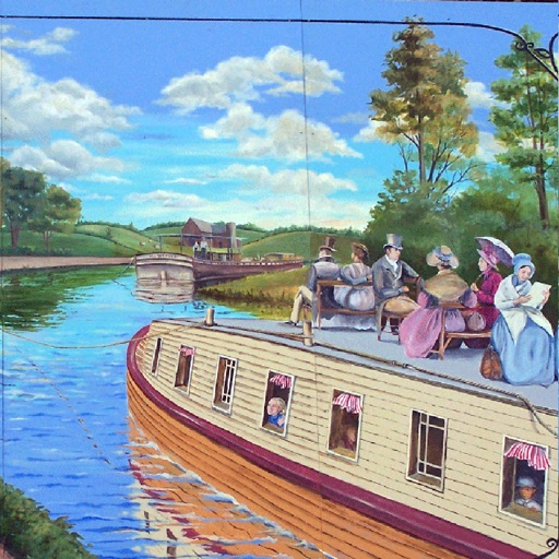
The app provides information for trips along the Chesapeake and Ohio Towpath. It displays the user's current location and helps find amenities without a data connection.