The app displays current location information automatically. Users can view coordinates, altitude, and addresses for current or specified locations, with options to change map formats and save locations.
Detect cameras and microphones by scanning Bluetooth devices and Wi-Fi networks. Identify suspicious lenses using magnetometer data. Lock and disable detected devices to secure personal space.
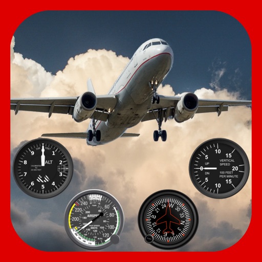
Track flights with automatic logging or manual entry. Record details like time, distance, and aircraft type. Share logs with others. View history and statistics. Discover and explore new airports.
Plan and track technical dives with support for open circuit and closed circuit rebreathers. Calculate gas consumption, OTUs, and CNS. Adjust ascent rates, stop intervals, and RMV/MOR per dive. Include altitude, nitrox, and trimix configurations.
Calculate bullet drop, wind drift, and elevation for precise shooting. Input custom bullet weight and muzzle velocity. Sync with devices for real-time data. Adjust for windage and elevation. Track performance metrics. Export shot data for analysis.
The app displays weather readings and charts from a network of personal weather stations. Users can view conditions in their neighborhood or backyard, with premium subscribers accessing Home and Lock Screen widgets and a companion Watch app.
The app decodes SNOWTAM and MOTNE reports, providing quick access to runway conditions and notification fields. It also calculates cold temperature altitude adjustments using a formula based on Transport Canada's chart.
Provides GPS navigation with fast lock time and precise parameters. Supports multiple systems including GPS, Galileo, GLONASS, and QZSS. Diagnoses location issues and suggests fixes. Includes latitude, longitude, and WGS84 by default.
Track , distance, and performance with real-time GPS data. Display in mph and km. Log trips and view historical records. Set alerts and monitor journey details. Sync data across devices for ongoing performance analysis.