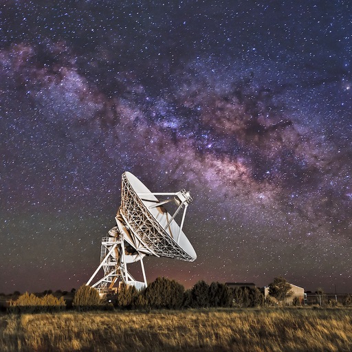
View coordinates for celestial bodies including planets, the Moon, the Sun, stars, and deep sky objects. Check if objects are above the horizon with a green icon. Click to access detailed information.
Display current, maximum, and minimum altitude using GPS. Switch between meters, feet, and yards. Adjust scale increments of 10, 100, 1000, or 10000. Track altitude changes during hiking or travel.
Save locations with exact GPS coordinates and altitude. View real-time weather and wind data. Use the compass for accurate direction tracking. Organize saved points and share coordinates directly.
View real-time GPS maps and switch between map and views by holding the device. Track heading, , altitude, latitude, longitude, speed, and temperature. Use a for accurate navigation and monitor speedometer and temperature readings.
Find and share locations with a map interface. Pin locations to view coordinates or addresses. Select transportation options to share real-time location updates. Quickly check current location or specific destinations with minimal clicks.
Track sun and positions on an AE map. Observe their 28-day cycle and seasonal movement between Tropic of Capricorn and Cancer. Explore celestial mechanics through conceptual time and sky visuals. Share location-based observations with friends.
The app records vehicle travel data, displaying real-time measurements like speed, distance, and altitude. It offers features such as trip recording, customizable themes, speed limit alerts, and HUD mode.
Provides flight preparation tools including pre-flight checks, procedures, and calculations. Users can perform thrust de-rate settings, fuel discrepancy calculations, and time management.
Convert units across 16 categories with instant results. Switch between metric, imperial, and other systems. Calculate conversions for length, weight, temperature, and more. Store frequently used values for quick access.
Measure , position, and coordinate information in real time. Customize display settings for , speed, and coordinates. Use the coordinate picker to retrieve location data from any map point.
The app measures distances, perimeters, and areas with precision over satellite images. It calculates surface areas, dimensions for fencing, and more without needing to be on location.
Monitor , air pressure, and oxygen levels in real time using GPS and sensor data. Customize theme and background. Track environmental changes with precise measurements and dynamic updates.