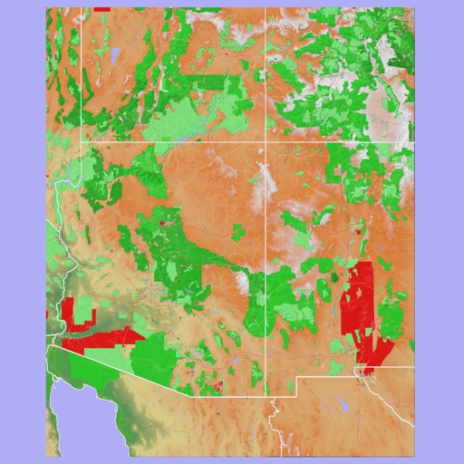
Track mountain hikes with in- GPS, recording vertical gain and current elevation. Browse, search, and filter 600,000 peaks across 50 map layers, including topo and satellite views. Save hikes, collect peaks, and share progress with others.
by Apperies LLC.★ 4.825 ratingsNavigationFreeData updated 2026-09-06
The app provides information about the Dévoluy mountain range and its resorts. Users can find piste maps, trail maps, real-time ski run openings, snow conditions, weather forecasts, webcams, event listings, and local services.
The app provides outdoor navigation with satellite, road, and hybrid maps. An in-app subscription unlocks USGS 24k Topo charts, navigational features, and frequent upgrades for outdoor pursuits.
The app provides 3D topographic maps for iPad and iPhone. Vector map data is contained within the app for offline use, supporting navigation in various environments.
The app provides worldwide marine and outdoor maps, satellite imagery, and terrain overlays. It offers local marine weather forecasts, tide data, and wind information, functioning without mobile coverage.