Track mountain hikes with in- GPS, recording vertical gain and current elevation. Browse, search, and filter 600,000 peaks across 50 map layers, including topo and satellite views. Save hikes, collect peaks, and share progress with others.
by Apperies LLC.★ 4.825 ratingsNavigationFreeData updated 2026-09-06
The app tracks Mardi Gras parades and other major parades in New Orleans and southeast Louisiana. It provides real-time tracking, schedules, and maps for parades throughout the year.
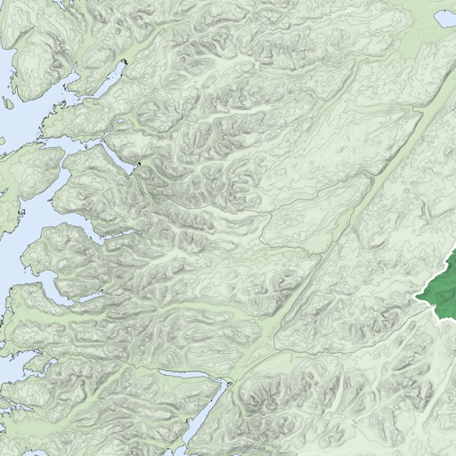
Download high resolution USGS topographical maps for offline GPS use. View maps aligned with Apple's map kit for easy reference. Rotate, zoom, and navigate maps with precise touch controls. Explore geographical details and historical data.
Track and visualize Apple Watch workouts on an interactive map. View GPS routes for running, walking, cycling, and hiking. Tap workouts to see detailed stats and replay sessions. Explore locations and relive journeys with map-based navigation.
Track speed, distance, elevation gain, and calorie consumption during rides. View real-time progress and set training goals. Sync data with smartphone or ROX GPS Bike Computer. Share achievements with friends or social media.
Explore trails, rainforests, and mountains with self-guided audio tours. Discover hidden lakes and learn about the history. Navigate trails, view maps, and access trail difficulty ratings.
The app provides detailed topographic maps of Norway for offline use. Users can download map areas, record tracks, plan routes, and measure distances and angles.
Find RV campsites, van parking , and private camps across the US and beyond. Browse map views, read reviews, view photos, and check services. Save favorite locations to your trip plan.