The app displays aviation weather observations and forecasts using a maps-based interface. Users can view METARs and TAFs in coded or translated formats, with color-coded pins indicating forecast or observation availability.
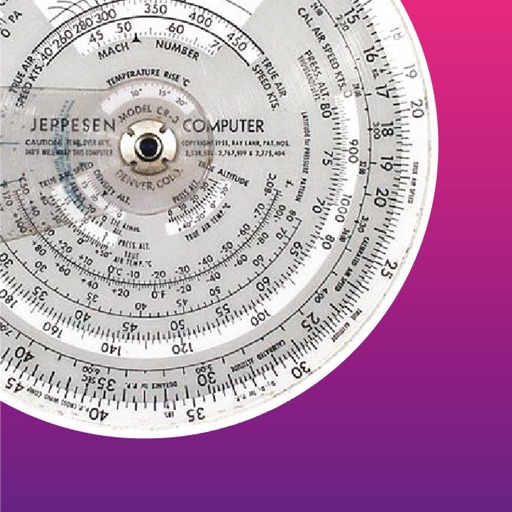
The app performs altitude, speed, temperature, wind, and turn calculations. It includes unique calculations for bank, radius, and acceleration, along with various wind computations.
The app provides current and future weather conditions for maritime navigation. It offers detailed weather maps and reports for the North Sea, Baltic Sea, and Mediterranean, including wind and analysis maps.