

Apps Like CfaN RED for iPhone and iPad
Plan visits and mark new school locations
Find and mark new schools in underdeveloped regions. Plan visits to these locations. Access resources through botcamp. Track progress toward evangelistic goals. Share locations and coordinate team efforts.
CfaN RED screenshots
Ranked alternatives
Showing 701–720 of 1,000 ranked alternatives.

lustar
THIRSTY FISH LLC
Find stargazing spots by weather and light
Find stargazing locations using weather forecasts and light pollution data. Search the world map for hourly forecasts. View conditions for visibility and clarity. Share locations with others.


Auckland Map and Walks
GPSmyCity.com, Inc.
Explore , discover landmarks, follow routes
Explore self-guided walking tours with detailed city maps to navigate attractions and hidden spots. Locate points of interest, set walking routes, and track progress during each tour. Share locations and save favorite routes for future visits.

IOPGPS
苗 苗
Track vehicles, view history, set alarms
Track vehicles and cargo in real time with map-based location updates. View historical movement data and playback records. Receive alarm notifications for unauthorized activity. Access a business dashboard for fleet analytics and cost management.


EarthConnect 2025
Baria Parthilkumar Ashokbhai
Explore artists, view art, share locations
View artist profiles, styles, and locations on a map. Add and share street art with contact information. Explore art globally and navigate to specific artworks.


Hill Lists
Graham Haley
Navigate hills and peaks with detailed
Track walking progress with detailed of over 20,000 hills in the UK and Ireland. Set goals for specific like Munros or Corbetts. View completion counts, totals, and percentages per list.

Outdoor Alta Badia
Outdooractive AG
Find places, filter results, view maps
Search for locations or use current position to find nearby activities. Filter by interests and view map-based results. Save offline maps and GPS directions for trips.

BiZi Zaragoza
Lyft, Inc.
Choose a pass, find stations, plan trips,
Choose a pass or membership. Locate nearby stations via an interactive map. Check real-time bike and dock availability. Plan trips in . Unlock and return bikes easily. View ride history.

MAPGEARS Trails
Mapgears Inc.
Navigate and share maps
Manage and maintain with real-time data access. Inspect trail conditions, update infrastructure details, and collaborate with team members. Sync with web platform for updates and notifications.

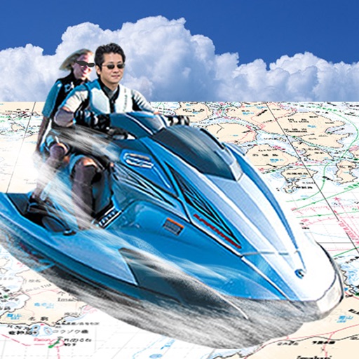
Japan Chart Navi
FujiDenshiDotCom
Navigate with real-time sea maps
Navigate using GPS to find sea routes and locations. View detailed maps and charts. Mark and save waypoints. Track speed and depth. Share coordinates with others. Sync with other devices for real-time updates.

Ready Go USA
READY GO USA INC
Request rides, track drivers, view history
Passengers can view ride history with pickup and dropoff addresses, driver name, date, and cost. They can search for dropoff locations via address bar. Ride requests trigger a search for the nearest driver. Drivers can accept or reject requests.

Lille Map and Walks
GPSmyCity.com, Inc.
Explore , discover landmarks, navigate cities
Explore self-guided walking tours with detailed city maps to navigate attractions and hidden spots. Locate points of interest, track your route, and save favorite locations for future visits.

RideLink Connect
RideLink GmbH
Plan routes, invite friends, navigate together
Plan routes and invite friends to join rides. Track group progress in real time. View 3D maps during journeys. Save ride history with details. Share locations and navigate together as a group.
How we rank alternatives
Apps are ranked by functional similarity, category fit, rating confidence, and popularity.