

Apps Like CfaN RED for iPhone and iPad
Plan visits and mark new school locations
Find and mark new schools in underdeveloped regions. Plan visits to these locations. Access resources through botcamp. Track progress toward evangelistic goals. Share locations and coordinate team efforts.
CfaN RED screenshots
Ranked alternatives
Showing 661–680 of 1,000 ranked alternatives.

angeln-in
angeln-in UG
Find fishing spots and track locations
Access digital fishing maps for lakes, rivers, canals, and coastal waters. Search for fishing spots, view water levels, and check regulations. Mark favorite locations and track fishing trips.
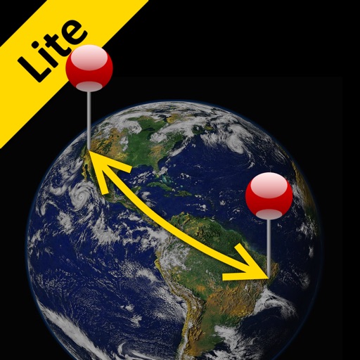
Distance Lite
Piet Jonas
Distance and direction between any places.
The app calculates the shortest distance or distance with a constant bearing between two locations. Users can select current location, enter coordinates, or choose from a database.


Eurowag Office
W.A.G. payment solutions, a.s.
Track fuel prices, plan routes, manage expenses
Manage fuel stops by comparing station prices and locations. Plan routes suitable for truck driving. Track expenses and manage fuel purchases securely through the .

JFBoston
Boston Japan Community Hub Inc.
Explore festival events and locations
Navigate Boston's Japan Festival with real-time event updates, detailed schedules, and a food guide highlighting local Japanese cuisine options. Locate festival activities, view performer schedules, and find nearby food vendors.


EJAD GPS
Saad Frayyih
Track location, search addresses, navigate routes
Track vehicle location and monitor movement in real time. Search for addresses and view current location. Navigate to specific destinations like ATMs, hospitals, and schools with estimated arrival times. Receive turn-by-turn directions using GPS.

Camino Connections
Timothy Ringering
Track progress, book stays, find meals
Plan journeys with customizable daily itineraries and track progress using elevation charts. Find meals and book accommodations along the path. Access live weather updates and a detailed walking guide.

VouchTrack
Imran Junnaid
Track locations in real time
Track locations in real time using GPS. Set waypoints and navigate routes. Share coordinates with others. View maps and traffic conditions. Receive alerts for deviations or emergencies.


GeoNet GPS Navigator
GEOPHONE GROUP INTERNATIONAL Oy
Navigate with custom offline maps
Select and use maps from multiple vendors including OpenStreetMap, CityGuide, and national producers. Navigate offline with worldwide coverage. Access traffic info and regular updates. Set map preferences and manage subscriptions.


New York:
PocketGuide Inc.
Explore cities, book trips, and discover experiences
Explore City with interactive maps and guided tours. Discover landmarks, local stories, and hidden gems. Plan itineraries, get real-time transit updates, and access event calendars. Share locations and receive recommendations based on your interests.


How we rank alternatives
Apps are ranked by functional similarity, category fit, rating confidence, and popularity.