Navigation allows users to explore and select from various outdoor activities including hiking, running, biking, and more. Record custom routes on a map, add waypoints, and capture photos along the way.
Determine using GPS, barometer, or location input. View data on interactive maps. Access real-time altitude readings. Compare changes across locations. Save and share measurements.
View and download NOAA electronic navigational for offline use. Access in NOAA or ECDIS formats. Overlay NOAA weather for real-time conditions. Display buoys, beacons, lights, and natural/man-made features. Track radar and fog signals.
Locations with real-time imagery and GPS tracking. Explore high-resolution of any global area. Zoom in to see detailed terrain and features. Save and share specific views. Navigate using location-based data and overlays.
Explore a 3D map of the Milky Way, Andromeda, and their satellite galaxies. Navigate through the Orion Arm to view nebulae and supernovae. Fly through planetary atmospheres and land on planets.
View 3D rotational models of human . Watch muscle action movies. Access 1247 Gray's images. Highlight muscles with a tool. Display Latin names and full descriptions. Available in English, French, Spanish, and German.
View live movements on a global map. Use AR to identify ships via device camera. Tap ships to see name, type, and destination. Colour-coded icons aid identification. Track over 20,000 vessels simultaneously without clustering.
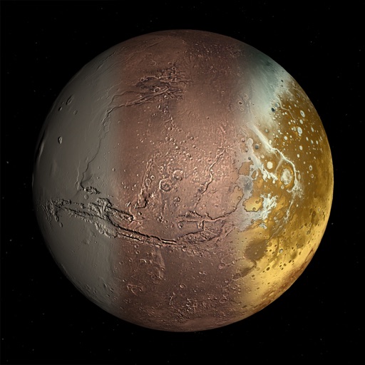
The app presents a journey through the solar system, featuring all eight planets. It includes facts, comments, and close-up images for each planet, along with animated orbits.
Weather "View current conditions, forecasts, and radar maps. Set location-based alerts. Customize notifications for severe weather. Share forecasts with others."
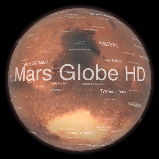
Explore with a high-resolution satellite map and topographic lighting. View over 1500 annotated surface features with detailed information and links. Navigate the virtual freely or follow a guided tour.
Identify , , and constellations by pointing the phone skyward. View real-time sky maps with overlays. Learn about celestial objects and satellites. Set location for accurate sky display. Save favorite constellations and .
Explore through bite-sized lessons on 20+ topics, including animals and space. Take fun quizzes to test knowledge and track progress. View 3D animations and interact with models to explore concepts in detail.
Navigation allows users to view direction aligned with satellite imagery or maps. Displays street address, GPS coordinates, elevation, and What3Words codes. Taps switch between satellite and map views. Pinch or spread to zoom.
Explore a 3D globe with relief models and political and physical maps. View day/night cycles, time zones, and city lights. Access over 2,600 geographic objects and more than 500 wonders of the .
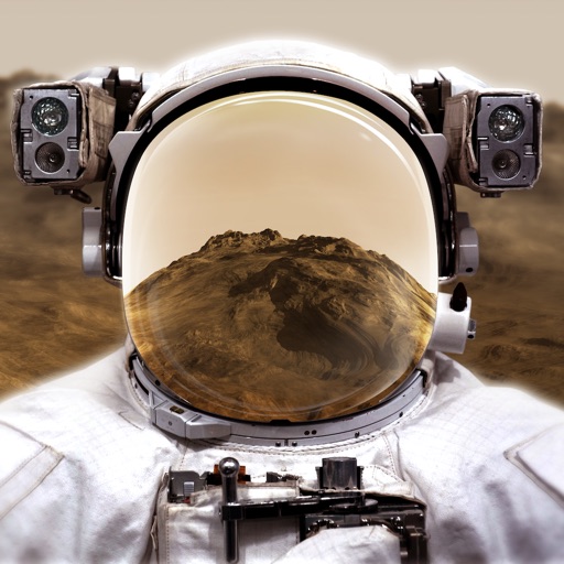
Explore through a virtual reality experience using a smartphone and cardboard VR viewer. Navigate the surface, learn about planetary features, and access interactive educational content about the planet.
Teaches basic and number skills through interactive games. Kids can count, add, subtract, and recognize patterns. Features include number matching, sorting, and sequencing activities. Encourages problem solving and hand-eye coordination.
Get real-time weather data from the Curiosity Rover. Track planetary positions with accurate celestial mapping. Share observations on Twitter and Facebook.