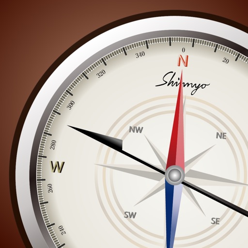
Locate direction using GPS and compass. Display map with current location and direction. Use accelerometer to adjust orientation. Show prayer times based on location. Track daily prayer schedule.
by UMRA TECH LLC★ 4.29 ratingsNavigationFreeData updated 2026-09-06
Locate yourself on OS maps using GPS and compass. View current grid reference and heading. Convert coordinates with OSTN02 for accuracy. Track easting, northing, and tetra. Includes Apple Watch and complication.
Control lights remotely via Apple Watch. Use spirit level, compass, and ruler for measurements. Access flashlight with sound effects. All are free and easy to use.
The app calculates sun elevation and tilt for equatorial mounts and azimuth and elevation for altazimuth mounts. It uses the device's internal accelerometer to determine surface orientation and can read the internal time or allow manual setting.
The app displays the orientation of reference areas on a map. Users can view cardinal orientations at 30°, 60°, or 45° intervals, with 12-direction display supported.
Access charts for based on CHS data. Create and manage boating routes with route manager. Import GPX/KML files. Use voice prompts for . View nautical charts with course orientation.
The app provides fast-updating sensor information from the user's device. Users can view and share GPS data, magnetometer data, and accelerometer data in a simple format.
Track elevation and climb rate in real-time. Calibrate altitude settings and check GPS accuracy. Send location links via SMS for easy sharing and navigation assistance. View maps in web browsers for location tracking.
Control and monitor Acoustic Devices remotely. Adjust volume, set pre-programmed sequences, and manage device settings. View usage statistics and receive system alerts. Connect via wired input or Bluetooth.
The app locates the closest Santander Cycles docking station, showing distance, direction, and available bikes and docks. Full-map mode displays destination dock availability, and a ride timer helps track rentals.
The app saves up to 50 map positions with notes. It displays the current address for the user's location and retrieves saved positions using latitude and longitude.
The app finds hospitals based on current location, providing distance and directions. It also locates hospitals by state and city, allowing users to call or get directions.