Create and fly optimal flight paths for mapping using photogrammetry. Process maps with custom software or online service. Sync flight logs and mission plans for debugging and troubleshooting.
by Automotive Data Research★ 4.6246 ratingsPhoto & VideoFreeData updated 2026-09-06
Organize tasks with maps. Auto-arrange nodes, drag to reposition, and copy branches. Track progress with color-coded maps. Set reminders and add notes. Share maps with friends or export as images.
Access meeting programs and event details. Create or sync a schedule, search for sessions, bookmark speakers, and take notes. Interact with attendees and view session abstracts and speaker bios. Export schedules and program materials.
Track student progress and manage training records
Flight instructors can track student progress through private pilot, instrument rating, commercial pilot, and certified flight instructor courses. Manage training records, set milestones, and ensure compliance with FAA regulations.
Track flight hours, currency, and training reminders
Log flight hours, track totals by aircraft type and time period. Monitor currency and training limits. Set reminders for medical renewals and recurrent training. View flight history on an interactive map.
Edit videos with filters and overlays. Display telemetry data including map, flight path, speed, and altitude. Support SRT subtitles for DJI videos. Export and share edited videos.
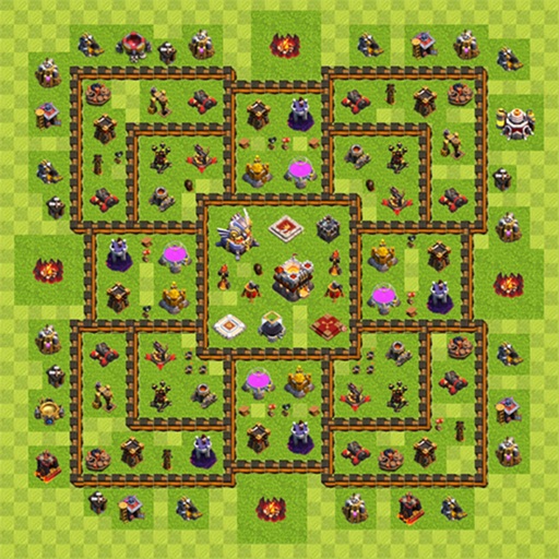
Share and discover Clash of Clans and strategies. Upload and view maps categorized by hall levels. Access hybrid designs and track troop placements. Export and share maps with other players.
The app provides a pilot logbook with charts, weather, and flight planning tools. It includes features for currency tracking, weight and balance, and risk analysis.
Create animated travel maps by plotting routes with transportation modes like boat, flight, bus, cycle, helicopter, car, bike, or train. Add markers, customize animations, and share routes via social media or links. Export as video or image.