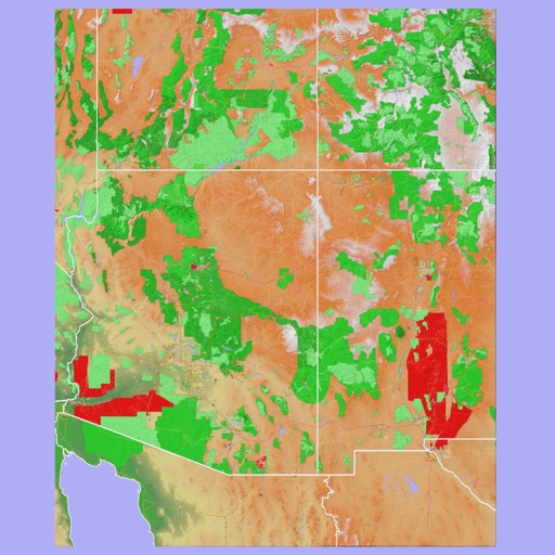
Access audio guides narrated by local experts for scenic . Navigate with offline maps that function without internet or cellular connection. View photos and detailed trail information. Share trail notes and location data.
Professional maritime piloting software from Trelleborg.
The app provides navigational data and chart display with multiple orientations. It supports S-57 and S-63 Charts and includes a vessel database for logging handled vessels.
The app calculates distance traveled and fare for cab drivers. Travelers can enter a standard rate to cross-check the fare and find the route to their destination.
Plan trips to parks with downloadable , guides, and park brochures. Access 50+ parks, 80+ , 130+ campgrounds, 400+ trails, and 63,000+ points of interest. Download newspapers and park information for offline use in areas without Wi-Fi.
Displays a finger cursor indicating the direction to the destination. Users can view routes on street maps, satellite views, or hybrid maps. Maps can be oriented with North at the top or rotated to match the user's current direction.
Track real-time speed and power using a digital . Monitor maximum and average speed during trips. Use a to determine direction, view altitude, and track coordinates.
The app provides professional maps for outdoor activities like hiking and cycling. It offers offline map storage, GPS tracking, and access to certified tours with detailed descriptions for planning adventures.
The app provides 3D topographic maps for iPad and iPhone. Vector map data is contained within the app for offline use, supporting navigation in various environments.