Play as a flight , manage cabin duties, and ensure passenger safety. Wear a uniform, give safety instructions, and signal the pilot for takeoff. Interact with passengers, handle in-flight requests, and complete pre-flight preparations.
Track flights in real-time with detailed global air traffic radar. View paths, aircraft positions, and details instantly. Switch between airports or select specific airlines to monitor their flights.
Track , distance, and performance with real-time GPS data. Display in mph and km. Log trips and view historical records. Set alerts and monitor journey details. Sync data across devices for ongoing performance analysis.
Navigation provides access to aeronautical charts including VFR Sectionals, IFR Enroute Low and High, TACs, Flyway, and IAPs. Users can view synthetic vision and fuel prices. Subscription includes advanced IFR data and APDs. Free trial available.
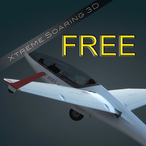
Fly gliders in realistic 3D environments using touch controls. Navigate thermals and adjust flight paths. Explore detailed landscapes and weather conditions. Track flight data and replay sessions. Customize aircraft and avatars.
Track location, speed, and altitude with real-time GPS data. Use a digital compass for direction. Access weather information and tag locations. Share coordinates and view maps.
Variometer+ provides real-time altitude and ground speed data with sea level and relative to take-off readings. It includes a sink alarm and customizable gauges. Users can adjust units and configure settings that sync across devices via iCloud.
View real-time flight conditions and site information. Explore launch and landing sites globally. Access weather forecasts from multiple providers. Watch live webcams and view photos of locations. See valley wind patterns with directional arrows.
Track routes for hiking, running, cycling, and other activities with GPS. View recorded paths on maps. Save favorite locations for quick access. Measure distance, speed, and elevation. Export data in various formats.
Tracks location, speed, altitude, heading, acceleration, g-force, and atmospheric pressure. Retrieves and displays current weather data. Records tracks up to 10 minutes or 10 kilometers. Plays back tracks at multiple speeds.
Access real-time METAR, TAF, and NOTAM data for global airports. Plan and save flight routes with offline storage. Sync data via iCloud. View briefings and pilot reports. Track conditions and flight-related alerts.
Plan and navigate boating trips with real-time tracking and high-resolution digital charts covering the US, Europe, and other regions. View vector charts with tappable buoys and lights. Pan and zoom seamlessly across maps.
View topographic of the United States with options for standard or hybrid map sources. Download for offline use and track current location on the map. Navigate using map features and explore terrain details for outdoor activities.
View and analyze GPX and KML files to explore existing tracks or plan new routes. Display detailed maps with waypoints, paths, and elevation data. Share tracks via email or social media. Sync with GPS devices for real-time navigation.
The app offers over 120 hours of gameplay with 5 realistic airplanes and 50 missions. It features real airplane physics, instruments, and 6 airports, including notable Rio de Janeiro sightseeing locations.