Allows users to record HD video sessions up to 1080p/60fps. It provides real-time lap timing with accuracy to 1/100th second and predictive lap timing. Users can overlay telemetry data on video.
Track cycling routes with GPS/GLONASS for location, speed, and elevation. Monitor power via Bluetooth or ANT+ sensors. Record cadence and compensate for single-side power meters. Save and review ride data. Sync with Apple Health.
The app provides real-time GPS tracking for outdoor activities. It offers route planning, navigation, and track recording with live statistics, all while ensuring user privacy with no data collection.
Track real-time paths and locations using 3D maps. View aircraft details, identify drones, and monitor airport activity. Set alerts for specific flights or locations. Share data with others.
This utility calculates average ISA temperature deviation for descent planning. It simplifies manual calculations, reduces workload, and minimizes potential errors for pilots using the FMC.
Track progress during TSD rallies with real-time distance calculations based on average speed. Adjust timing manually via co-pilot input. Monitor speed and distance to maintain compliance with regulations.
Track metrics and pitch data with high-definition video. Review and share 1080p videos. Customize display settings. Store performance data in a cloud-based profile. Coaches can create multi-player sessions and auto-generate reports.
Download aviation databases and connect to hardware
Download aviation databases from avionics websites to iOS devices via Wi-Fi or cellular. Transfer databases to USB drives or SD cards using the accessory. Collect and upload flight and engine logs to analysis platforms.
The app features diverse scenes with sharp corners and gorgeous drifts for a real passion. Users can select different motorcycle styles for more flexible control, realistic handling, and faster speeds.
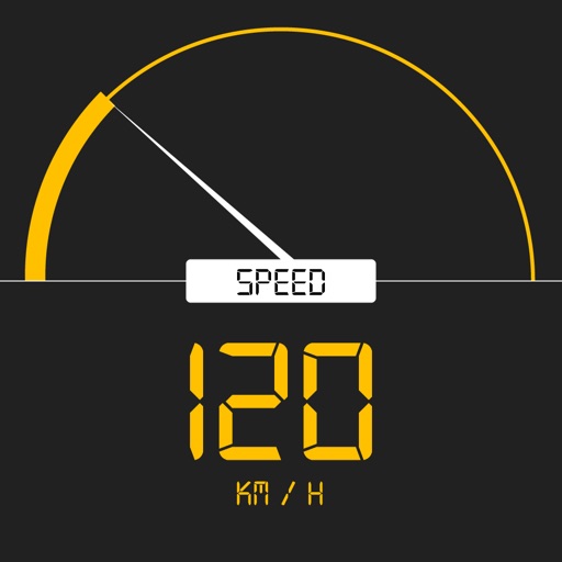
Tracks current, maximum, and average speed using GPS. Displays speed in analog and digital formats with colorful LED. Records distance traveled and trip time. Functions as a trip meter and for vehicles, walking, running, biking, and boating.
The app provides aviation navigation for Southern Africa with a GPS moving map and detailed airfields database. It includes airspace information, flight planning, and an E6B calculator for enhanced situational awareness.