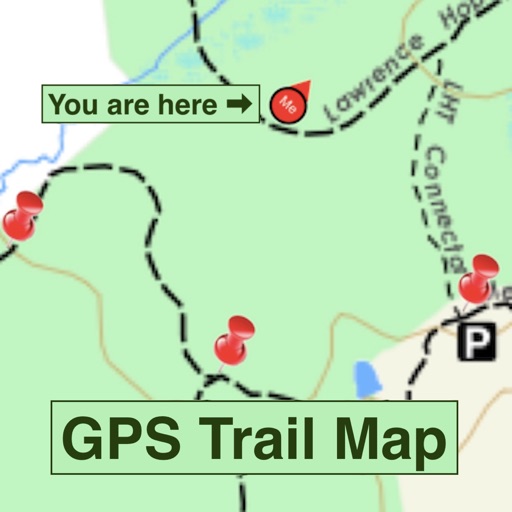
Navigate trails in using an offline topo map. View real-time location and route details. Access detailed elevation data and trail markers. Save and share route logs without internet connectivity.
The app provides worldwide marine and outdoor maps, including USA marine charts, lake maps, and parks. Users can download charts for offline use, overlay satellite and terrain features, and access interactive weather forecasts.
The app displays the user's current position and compass on a map. It offers route planning, records visited locations, and allows users to capture photos and videos.
Find locations with precise map pins for famous viewpoints and hidden spots. View example and pro tips for each location. Adjust camera settings for optimal shots. Share directly from the .