
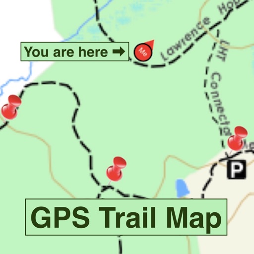
Apps Like GPS Trail Map for iPhone and iPad
GPS Trail Map screenshots
Ranked alternatives
Showing 821–840 of 1,000 ranked alternatives.

GPS Units Converter
3B Soft srls
Convert GPS coordinates to many systems.
The app converts GPS coordinates to over 4000 coordinate systems. Users can select a target system, locate points on a map, and view coordinates in WGS84 and the target system.

SityTrail+ GPS hike bike ski
Geolives Belgium S.P.R.L.
Record hikes with geotags and track performance
Record hikes with geotagged photos and track performance metrics like distance, speed, calories burned, and effort. Navigate with an altimeter, route alerts, and automatic points of interest with vocal descriptions.

GPS Units Converter Lite
3B Soft srls
Convert GPS coordinates to many systems.
The app converts GPS coordinates to over 4000 coordinate systems. It displays coordinates in WGS84 and the target system, with dashes for untranslatable points.



Denniston
Grant Baxter
Explore literary inspiration in rugged landscape.
The app guides visitors through 17 locations from Jenny Pattrick's books, exploring Denniston's history. It showcases New Zealand's early industrial heritage at an ICON heritage site.


Sendegal
Xunta de Galicia
Explore Galicia's officially approved trails.
The app displays user position using GPS to help follow approved trails in Galicia. Users can search trails by list or map, with details on length, estimated time, and difficulty.




How we rank alternatives
Apps are ranked by functional similarity, category fit, rating confidence, and popularity.